
Tag "GIS software"

Boundless Education Program Expands Support to Promote Geo-Education Everywhere
New York – Boundless, the leader in open GIS, today announced that it has extended the Boundless Education Program to provide open source GIS software and support for free to
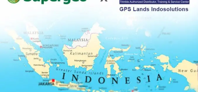
Supergeo Announces Partnership with GPS Lands Indosolutions in Indonesia
Supergeo Technologies Inc., the global GIS software and solution provider, announces the partnership with PT. GPS Lands Indosolutions in Indonesia. Headquartered in Jakarta, PT. GPS Lands Indosolutions is a company
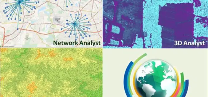
Major Upgrades of SuperGIS Desktop Extensions
The updated version of SuperGIS Desktop was just released this month. In this update, Supergeo not only improved the performance of SuperGIS Desktop 10 but also released multiple latest SuperGIS

Trimble’s New SketchUp Viewer for Microsoft HoloLens Enables Users to Inhabit and Experience Designs
SketchUp with Mixed Reality Ushers in New Paradigm: Experiential Design Review LAS VEGAS, Nov. 7, 2016—Trimble (NASDAQ:TRMB) launched today its SketchUp Viewer for Microsoft HoloLens. The new mixed-reality solution allows
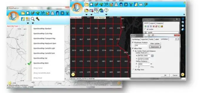
Collect High-Precision Data in the Field with latest SuperPad 3.3!
The global leading GIS software and solution provider, Supergeo Technologies Inc., is pleased to announce the latest release of SuperPad 3.3.4797. SuperPad is the mobile GIS software designed for surveying
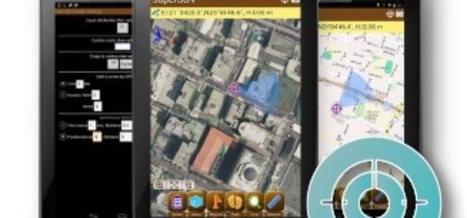
Election Commission of Malaysia Selects SuperSurv for Efficient Spatial Data Collection
Supergeo is delighted to announce that with the assistance from Supergeo’s partner in Malaysia, Suruhanjaya Pilihan Raya Malaysia (SPR Malaysia, lit. Election Commission of Malaysia) has recently chosen SuperSurv 3.3 as the

Global Mapper LiDAR Module v18 Now Available with Full Range 3D Point Cloud Display
Blue Marble Geographics is pleased to announce the availability of an update to the Global Mapper LiDAR Module. Released in conjunction with Global Mapper version 18 the latest edition of

PDF3D Announces Support for macOS Sierra
Advanced 3D PDF authoring software suite supports the latest Macintosh® OS release. London, UK, October 27th, 2016 – PDF3D, from Visual Technology Services, today reaffirmed its commitment to Apple technology
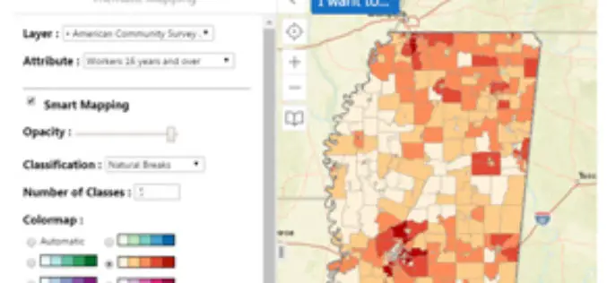
Mississippi State University Released a New Web Application “GeoDawg” – Bringing Power of GIS to the Public
STARKVILLE, Miss.— The Geosystems Research Institute (GRI) at Mississippi State University has released a new web application, “GeoDawg,” that gives Mississippians the ability to easily use the capabilities of a

Agricultural Cooperative in Malaysia Manages Spatial Data with SuperGIS Desktop
The worldwide geospatial solution and GIS software provider, Supergeo Technologies Inc., is proud to announce that an agricultural cooperative in Malaysia has recently selected SuperGIS Desktop to manage spatial data.
