
Tag "GIS software"

Next SuperSurv 10 Release Will Add Powerful Features
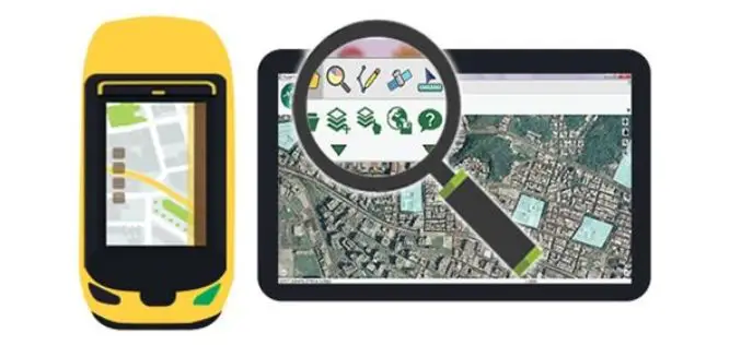
Equipped with advanced GIS and GNSS technologies, SuperSurv 10 is a cutting-edge mobile GIS app that operates on Android OS. After installing SuperSurv 10, field surveyors only need to bring

Blue Marble Offers Free Access to Global Mapper and Geographic Calculator at Higher Education Schools in the U.S. and Canada
Hallowell, Maine – April 4, 2017 – Blue Marble Geographics (bluemarblegeo.com) is pleased to announce that institutes of higher education in the U.S. and Canada will shortly be granted free

Supergeo Announces the Official Release of SuperPad 10
Integrating GNSS and GIS technologies, SuperPad 10 is mobile GIS software designed for Windows and Windows Mobile OS. As one of the most popular mobile software of Supergeo, SuperPad not

Vricon Announces Reseller Agreement with Esri
McLean, VA — March 3, 2017 — Vricon, a leading provider of highly accurate photorealistic 3D products and elevation data of the earth, today announced it has signed a reseller agreement with

Jesi, Historic City in Italy Uses SuperSurv to Collect Spatial Data
Supergeo Technologies, the worldwide GIS software and solution provider is pleased to announce that Jesi City selects SuperSurv to collect spatial data. Located in central Italy, Marche Region, Jesi is
Supergeo Unveils SuperPad 10 Beta
Supergeo Technologies Inc. is excited to announce the beta version of SuperPad 10, its most popular mobile GIS software based on Windows and Windows Mobile OS, has been released at
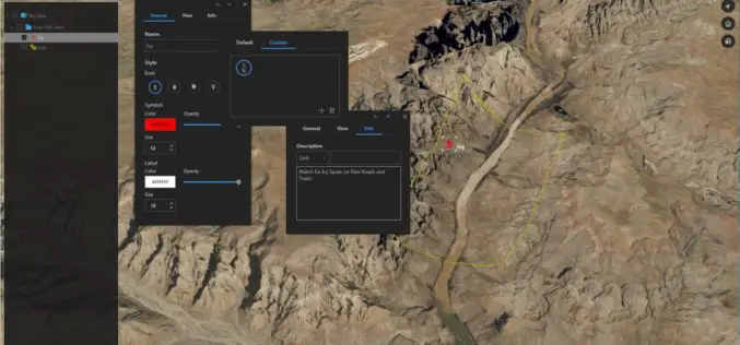
Download for Free – Esri Release ArcGIS Earth 1.4
Recently Esri 3D team has announced the release of ArcGIS Earth 1.4. ArcGIS Earth 1.4 introduces great new features that will enhance workflows for visualizing data, accessing portals, and sharing across
SuperPad 10 – A Revolution in Spatial Data Collection
Supergeo Technologies Inc. is going to unveil a brand-new version of its one of most popular GIS software in field surveying – SuperPad 10 before the end of January 2017.
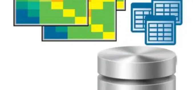
The Excellent Helper for Processing Spatial Data—SuperGIS Desktop
As people get more dependent on making use of spatial information in our daily lives, it appears to be even more important to think about how to manage and share
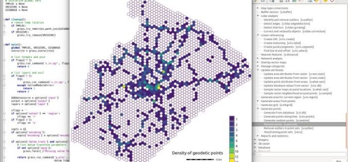
GRASS GIS 7.2.0 Released
After almost two years of development the new stable major release GRASS GIS 7.2.0 is available. It provides more than 1950 stability fixes and manual improvements compared to the former
