
Tag "GIS mapping"

OnPOZ Collect and Cloud Mappings Apps for Geospatial Data Collection
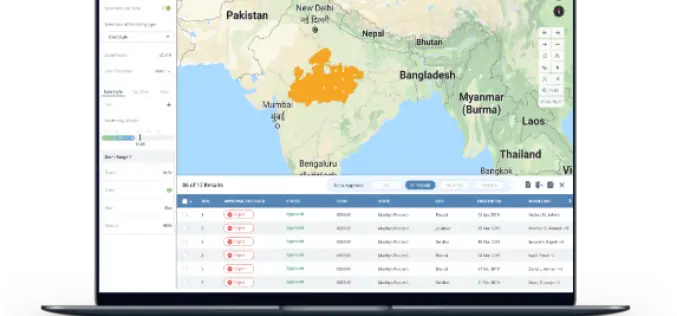
OnPOZ Collect is a powerful GIS mapping app that transforms a phone or tablet into a geospatial data collection tool.
India Geospatial Stack to Enable Scientific Mapping of Resources
Contributed by – From the 14% at the time of independence to almost 32% according to the 2011 Census, urban settlements in India have witnessed a rapid population growth –
TatukGIS Announces Kernal 11 of its GIS Developer Kernel (DK) for ASP.NET Web Forms
TatukGIS is a leading geospatial technology company that makes an advanced level, general-purpose GIS mapping software development kits used by companies in a wide range of industries to develop custom
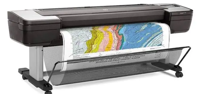
HP Launches World’s Most Secure Large Format Printers for GIS Mapping
Adds HP Secure Boot and Whitelisting to HP DesignJet T1700 printers for enterprise and government. Jan. 30, 2018 – HP Inc. introduced HP DesignJet T1700 printers, next-generation 44-inch solutions for CAD and geographic

Autodesk and Esri Partnering to Advance Infrastructure Planning and Design
Global Geographic Information System & Building Information Modeling Leaders Plan to Drive Integration of Spatial Intelligence and 3D Design Model Information November 15, 2017 – Redlands, California—Autodesk, Inc. and Esri, Inc.

Maharashtra Government to Spend INR 260 Crore for GIS Mapping of ULBs
According to recent news by TOI – The state cabinet on Tuesday sanctioned Rs 260 crore for GIS mapping(Geographic Information System) of all the C and D municipal corporations, Councils

Uttar Pradesh: New Government Schools Only After GIS Mapping
Uttar Pradesh, India – According to recent news by The Hindustan Times, Uttar Pradesh will now get new government-run primary and upper primary schools only after completion of Geographic Information System

Humanitarian OpenStreetMap Team – Malaria Mapping YouthMappers Challenge
Humanitarian OpenStreetMap Team member Mr. Russell Deffner along with Geoffrey Kateregga are managing a mapping project for malaria eradication across seven countries in Southern Africa, Southeast Asia, and Central America.
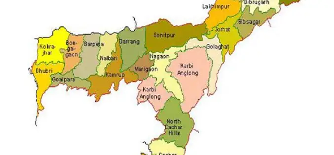
Assam Beings GIS Mapping of Dhubri Town
Assam, India – According to recent news published by The Assam Tribune, the Town and Country Planning (TCP), Dhubri is planning to use GIS for mapping of land parcels in

Airborne LiDAR to Throw Light on Rajgir Hill’s History
Kolkata,Nov 7, 2016- IANS – Indian archaeologists plan to deploy high-end scanning lasers on airborne platforms to survey the archaeological evidence, flora and fauna in the ancient Rajgir hills in
