
Tag "Geosystems"

Leica Geosystems, GeoPal Partner to Add High Accuracy to Mobile Operations, Drive Efficiency, Productivity…
Leica Geosystems, GeoPal partner to add high accuracy to mobile operations, drive efficiency, productivity, ensure safety benefits for utility asset collection (Heerbrugg, Switzerland, 26 July 2018) – Leica Geosystems, part
Leica Geosystems Acquires M&P Survey in the UK
In March 2016, Hexagon Geosystems, business division of Hexagon including Leica Geosystems, acquired M&P Survey Equipment Limited – one of the UK’s leading Leica Geosystems distributors. Since then, Hexagon Geosystems
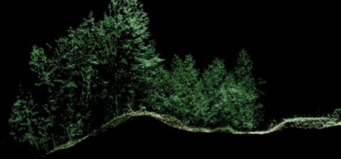
Leica Geosystems Expands LiDAR Capabilities in ALS80 Airborne Sensor
(Heerbrugg,Switzerland/Anaheim, California, USA, 16 June 2016) – Leica Geosystems, global leader of measurement and reality capture technologies, today announced it has expanded functionality of the popular ALS80 airborne sensor that
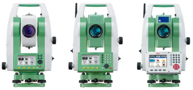
Leica Geosystems Establishes Georadar Portfolio
(HEERBRUGG, SWITZERLAND, 15 June 2016) – Leica Geosystems, global leader of measurement and reality capture technologies, today announced the establishment of a georadar portfolio with three releases to provide applications

Hexagon Launches HxGN SMART Build, a Pioneering Enterprise Construction Management Software Solution
Hexagon AB, a leading global provider of information technologies that drive productivity and quality across geospatial and industrial enterprise applications, today announced the launch of HxGN SMART Build, an enterprise
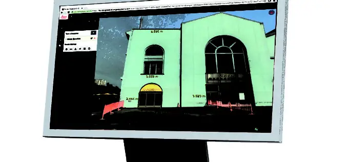
Leica Geosystems Releases New Software Capabilities for Web-Based Collaboration Using Digital Reality Capture Data
Leica Geosystems, global leader of measurement and reality capture technologies, today released TruView Global 2.0. The easy-to-use software integrating point cloud, 3D model and panoramic imagery now supports multiple communities
Hexagon kicks off HxGN LIVE conference in Anaheim, CA, USA
Hexagon, a leading global provider of information technologies that drive productivity and quality across geospatial and industrial enterprise applications, raises the curtain today on its annual HxGN LIVE event. Running

Creating a collaborative Laser Scanning Workflow in Real-time for BIM and Beyond
Webinar: Creating a collaborative Laser Scanning Workflow in Real-time for BIM and Beyond December 14, 2015 -December 14, 2015 Laser scanning and volume data provides the mechanism to bring the
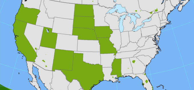
PR: Hexagon Imagery Programme Releases New Airborne Imagery Content
Imagery for a full 11 states plus portions of six other states in the U.S. have been provided in the HxIP as part of its airborne imagery offerings from the
