
Tag "Geophysical"
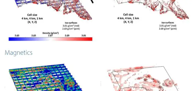
3D Geophysical Exploration Model Covers All South Australia
Integrating 3D geophysical data to a depth of 100 km The South Australian Geophysical Reference Model allows users to bring to life the state’s vast resource data sets of geological
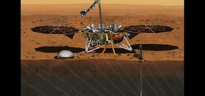
InSight Mission’s Journey to Mars Set For 2018
In December 2015, the Mars mission InSight was put on hold, but it has now been provisionally scheduled to launch to the Red Planet at the next opportunity – in

Geological Survey of India to Map Geological Potential Areas of the Country
Geological Survey of India (GSI) will soon take up the ambitious National Airborne Geophysical Mapping project covering 8 lakh sq kms including the Obvious Geological Potential (OGP) area, which includes

Exprodat Supports Geothermal Resource Exploration at Utah State University
Exprodat, the oil and gas GIS services, software and training supplier has provided the Geology Department at Utah State University (College of Science) with licenses of their popular Exploration Analyst and Data Assistant extensions to Esri’s
