
Tag "GEOINT"
USGIF Launches 2022 Scholarship Campaign
Foundation seeks donations toward collegiate geospatial intelligence education The United States Geospatial Intelligence Foundation (USGIF) announces the launch of the 2022 USGIF Scholarship Campaign, its most ambitious fundraising effort to
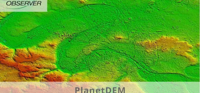
PlanetDEM – A Highly Reliable Digital Elevation Model
PlanetObserver has released PlanetDEM, its new global Digital Elevation Model (DEM) with a 30m and a 90m resolution. This new DEM offers an updated, reliable, and homogeneous 3D dataset of
Amazon Web Services Becomes USGIF Strategic-Level Member
USGIF welcomes Amazon Web Services to its growing list of organizational members The United States Geospatial Intelligence Foundation (USGIF) is pleased to welcome Amazon Web Services (AWS) as its newest
USGIF Accepting Applications for Annual Scholarship Opportunities
The United States Geospatial Intelligence Foundation (USGIF) announces the opening of its 2021 Scholarship Program. Every year, USGIF awards scholarships of various amounts to exceptional students studying GEOINT, geospatial sciences,

National Geospatial-Intelligence Agency Seeks Algorithm for Automatically Image Colorization
SPRINGFIELD, Virginia, July 11, 2018 — The National Geospatial-Intelligence Agency is seeking an algorithm that can rapidly, accurately and automatically colorize large panchromatic images of up to 10 gigapixels in

Vricon among First Companies on GSA Earth Observations Solutions
McLean, VA – 14 August 2017 –Vriconannounced today that it is among the first companies to offer GEOINT solutions on the General Services Administration’s (GSA) new Earth Observations Solutions Special
USGIF Universal GEOINT Certification Program
USGIF has launched a first-of-its-kind, transparent, and transportable Universal GEOINT Certification Program and professional designation that proves your deep and balanced understanding of the GEOINT tradecraft. The goal of the Universal GEOINT Certification Program is to provide
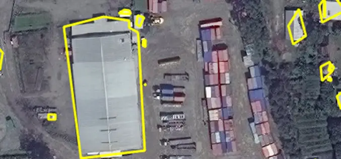
East View Geospatial Enhances Training Data Accuracy for Automated Feature Identification in Machine Learning Trials
MINNETONKA, Minnesota, USA, 1 June 2017 – East View Geospatial (EVG), a provider of content-rich cartographic products, continues to enhance the accuracy of automated feature identification using its newly developed
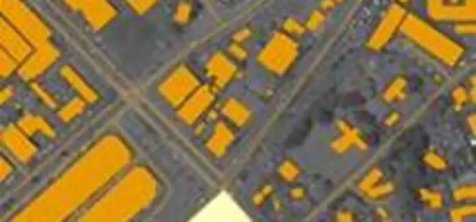
East View Geospatial Announces Training Data Library for Geospatial Machine Learning
MINNETONKA, Minnesota, USA, 24 April 2017 – East View Geospatial (EVG), a provider of content-rich cartographic products, is building a library of highly accurate geospatial training data for use in
NGA Solicits Input for Airborne SAR in Boosting Innovative GEOINT Topic Area
SPRINGFIELD, Va. – The National Geospatial-Intelligence Agency released the fifth topic of the agency’s Boosting Innovative GEOINT, or BIG, Broad Agency Announcement initiative, March 31, focused on airborne synthetic aperture
