
Tag "Geographic Information System"
University of Kerala Announces Admission to PG Diploma in Geo-Information Science and Technology
UNIVERSITY OF KERALA Centre for Geo-Information Science and Technology (A centre of excellence supported by the DST and KSCSTE) Announces admission to the PG

Esri Brings Analytics to Urban Modeling for Smarter City Planning
Redlands, California—This provides urban planners, designers, and citizens easy to understand intelligence for improving their cities. ArcGIS provides deep insight into an urban scenario while CityEngine creates realistic digital 3D
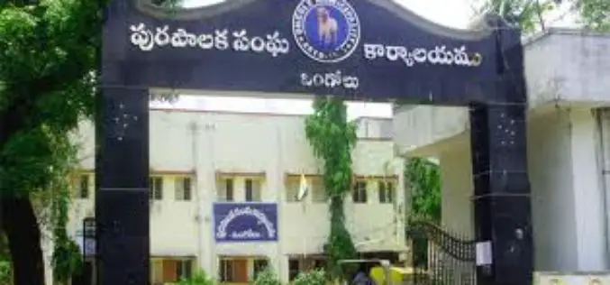
GIS to Check Irregularities in Property Tax
In recent news, Andhra Pradesh, Ongole Municipality Corporation is planning to use Geographical information System (GIS) to check irregularities in property tax system. Ongole Municipality Corporation has engaged a consultancy, which

Boundless Introduces New QGIS Support Packages at FOSS4G
Benjamin Trigona-Harany to Conduct QGIS for Analysts Workshop at the Conference September 8, 2014 – Boundless, the leading provider of Spatial IT software and services, announced new QGIS support and training offerings

Geospatial Corporation’s CEO Mark Smith to Present at the ENERGIS Conference Hosted by Range Resources, Pittsburgh PA
The conference addresses geospatial and GIS technologies and needs within the energy industry. Mark Smith will be presenting a case study with Mike Hopkins of Vantage Energy PITTSBURGH, PA–(Marketwired –

Web Application Optimized For Collaboration & Visualization of ESRI Map & Feature Services, KML & OGC
PASADENA, Calif., August 19, 2014 – TouchShare, Inc., the leader in next-generation geospatial collaboration solutions, is proud to announce the release of TouchShare Web, TouchShare’s browser application that leverages GIS investments

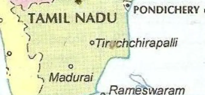
Institute of Forest Genetics and Tree Breeding to Map Trees in Tamil Nadu using GIS
In recent news, the Institute of Forest Genetics and Tree Breeding (IFGTB) is going to do Geographical Information System (GIS) based mapping of tress in all 32 districts of Tamil
Tamil Nadu Integrates GIS Mapping to Check on School Dropouts
Tamil Nadu would be the first state in the country to integrate Geographical Information System (GIS) mapping with the education management information system to check on school drop outs, IT

University of Glasgow Offering MSc/PgCert/PgDip Course in Geospatial and Mapping Sciences
Founded in 1451, Glasgow is the fourth-oldest university in the English-speaking world. Over the last five centuries and more, we’ve constantly worked to push the boundaries of what’s possible. We’ve fostered

West Bengal to Use GIS: Keep Track of Rural Development
In recent new, The West Bengal state government planning to setup a new geographic information system (GIS) technology based computer based system to keep track of progress of rural activities in
