
Tag "Free GIS Data"
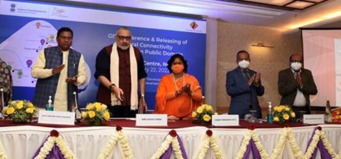
Rural Connectivity GIS Data is Now Available in the Public Domain
Shri Giriraj Singh, the Union Minister for Rural Development and Panchayati Raj, Government of India, has made the Rural Connectivity GIS Data available to the public. This comprises GIS data

Free GIS Data – Transport and Communications Data
Free GIS Data – Transport and Communications Data Transport and Communications Data Open Flights: Airport, airline and route data across the globe. Data is provided as CSV files which

Free GIS Data – Population Data
Free GIS Data – Population Data Population Data Gridded Population of the World: Includes raw population, population density, both historic, current and predicted. Global Rural-Urban Mapping Project: Based on
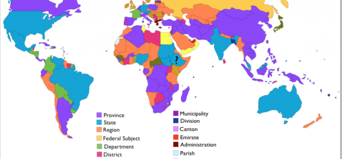
Free GIS Data – Administrative Boundaries Data
Free GIS Data – Administrative Boundaries Data Administrative Boundaries Data Natural Earth: Includes countries, disputed areas, first-order admin (departments, states etc), populated places, urban polygons, parks and protected areas

Free GIS Data – Wars, Conflict and Crime Data
Free GIS Data – Wars, Conflict and Crime Data Wars, Conflict and Crime Data ACLED: Armed Conflict Location and Event Data – containing all reported conflict events in
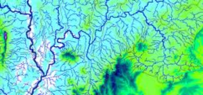
Free GIS Data -Hydrology Data
Free GIS Data -Hydrology Data Hydrology Data HydroSHEDS: Hydrological data and maps based on the STRM elevation data. Includes river networks, watershed boundaries, drainage directions and flow accumulations for
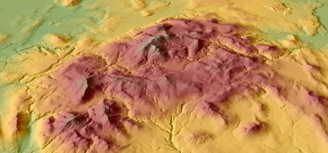
Free GIS Data – Elevation/ DEM/ DTM Data
Free GIS Data – Elevation/ DEM/ DTM Data Elevation/ DEM/ DTM Data GDEM: 30m resolution global elevation data derived from ASTER satellite images SRTM: Approx 90m (3 arc-second) resolution
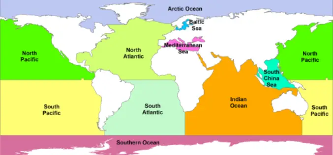
Free GIS Data – Land and Ocean Boundaries Data
Free GIS Data – Land and Ocean Boundaries Data Land and Ocean Boundaries Data GSHHS: A Global Self-consistent, Hierarchical, High-resolution Shoreline Database – which basically means it’s
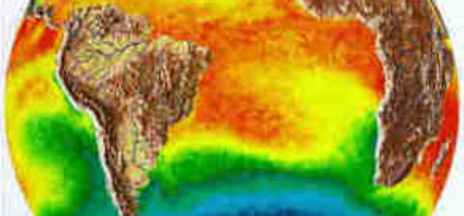
Free GIS Data – Weather and Climate Data
Free GIS Data – Weather and Climate Data Weather and Climate Data WorldClim: Climate data for past, present and predicted future conditions. Includes temperature (min, max, mean) and
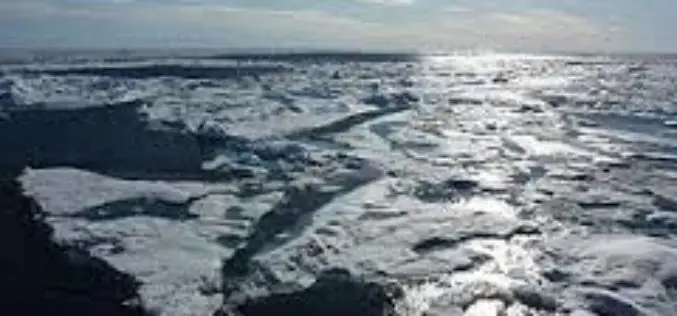
Free GIS Data – Snow/Ice, Lakes, Oceans and other Water Sources Data
Free GIS Data – Snow/Ice, Lakes, Oceans and other Water Sources Data Snow/Ice, Lakes, Oceans and other Water Sources Data Randolph Glacier Inventory: A global inventory of glacier outlines, including

