
Tag "Forest mapping"
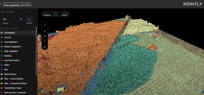
Automated Point Cloud Analysis for Forestry Mapping
Pointly has developed AI solution, that takes point clouds as input and outputs a shapefile with the location of tress for forestry mapping.
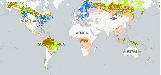
Safeguarding Sustainability Through Forest Certification Mapping
Using forest biomass products–such as timber, fuel wood, or paper–in a sustainable manner, without exhausting resources or diminishing forest biodiversity, requires transparency on the origin and management of those forests.

Laser Based Forest Mapping Instrument for Space Station
Laser-based technology will enable unprecedented measurements of 3-D forest structure A laser-based instrument for mapping the 3-D structure of Earth’s forests has passed a major milestone toward deployment on the
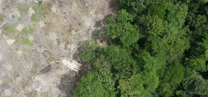
3D Measurements of Forest Areas
A tangle of treetops and branches, through which just the occasional clear area provides glimpses of the trunks and roots growing below. Whether it is woodland with German spruces or
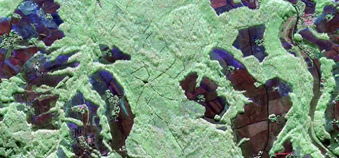
Radar Satellite Data for Mapping Dynamics of Deforestation and Forest Degradation
Have you ever think about the importance of forests in our daily lives of concrete jungles? Forests products are used in our daily lives. All activities directly or indirectly involve
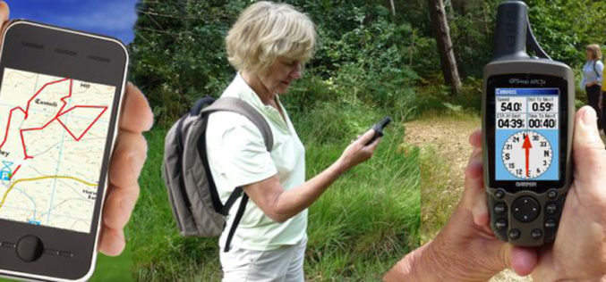
Haryana Forest Department to Map Forest Damage using GPS
Haryana Forest Department is mapping forest damage by fire using Global Positioning System (GPS) and plans to use satellite pictures to evaluate changes in forest and plantation areas. Haryana Space
