
Tag "Flood Mitigation System"
Remote Sensing
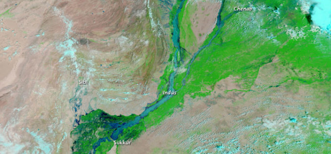
Pakistan to Adopt Remote Sensing and GIS Based Flood Mitigation System
In recent news by The Express Tribune, Pakistan Space and Upper Atmosphere Research Commission (SUPARCO) in collaboration with UNESCO will install satellite remote sensing and GIS technologies across Pakistan for

