
Tag "Fish Mappping"
GIS
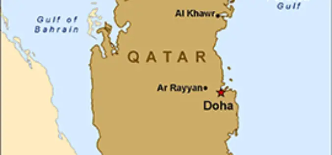
Qatar is Using GIS to Map and Analyse Fishing Reserves
In recent news, Qatar is developing a geographical information system (GIS) to map and analyse its marine resources, mainly fishing reserves. The fisheries department is busy assessing the country’s fish reserves
