
Tag "ESA"
4th Farming by Satellite Prize Competition is Open!
Registration for the 4th Farming by Satellite Prize was officially opened at the conference “Agriculture: a new frontier for the European space policy” in the European Parliament on March 6.
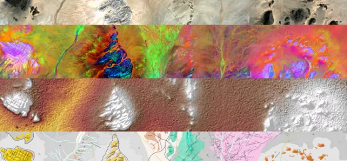
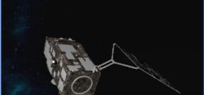
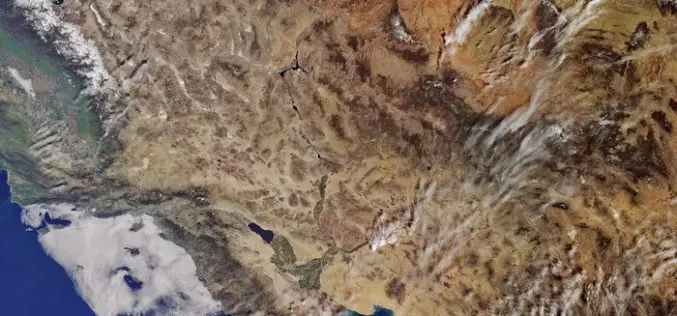
Sentinel-1 and Sentinel-2 Missions Helping to Map Minerals in Africa
The traditional way of geological mapping is to record the location of rock outcrops, rock and fossil samples and structures observed in the field. The detailed description and sketches of
OGC Announces Earth Observation Exploitation Platform Hackathon 2018
Hackathon will test the readiness of new, interoperable cloud-deployment architectures for processing of Earth Observation data February 13, 2018 – The Open Geospatial Consortium (OGC) is calling for participation in its
Learn SNAP Using EU Flagship Copernicus Satellite Program
Geo University has come up with a video course that provides a detailed walkthrough guide of the European Space Agency (ESA) Sentinels Application Platform (SNAP) software. A common architecture for all Sentinel Toolboxes is

ESA Invites Proposals to Promote Scientific Exploitation of Satellite Data
ESA’s EO Science for Society programme aims to promote scientific exploitation of satellite data, pioneer novel applications and develop pre-commercial services while maximising the use of information and communications technologies. In
ESA Sentinel App Season Update!
A new update of the ESA Sentinel App is coming up! The latest changes have brought us the acquisition plans and swath animations for Sentinel-1A, Sentinel-1B and Sentinel-2A, a powerful
Sentinel-3A Sea & Land Surface Temperature Radiometer (SLSTR) Level-1B Data is Now Available at Near Real Time (NRT) Timeliness
Sentinel-3 is primarily an ocean mission, however, the mission will also be able to provide atmospheric and land applications. The mission will provide data continuity for the ERS, Envisat and
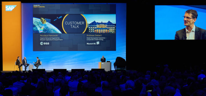
ESA and SAP Launch New Service For Analysing Satellite Data
ESA and the software company SAP have announced the Earth Observation Analysis service for the quick, easy consumption of Earth observation satellite data according to customer needs. Powered by SAP’s
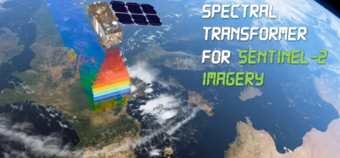
Spectral Transformer for Sentinel-2 Imagery Just Released
In a recent update, GeoSage has just released a software tool for the ESA’s 10m-resolution Sentinel-2 imagery. As many of you already know, the Sentinel-2 satellite is equipped with even more
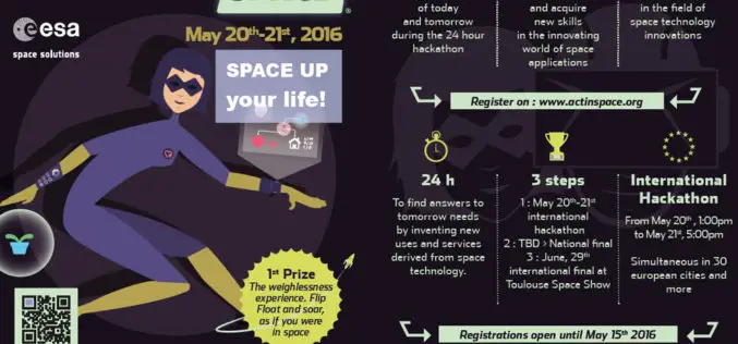
ActInSpace: The Space Technology Challenge
Airbus Defence and Space is partnering with the French and European space agencies (CNES and ESA*) to organise ActInSpace. ActInSpace is a 24-hour contest where anyone can join a team
