
Tag "Drones for Mapping Property"
GIS
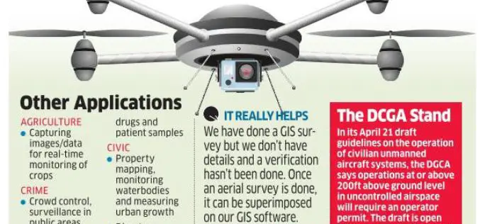
Bengaluru Civic Corporation to Use Drones for Mapping Property & Taxes
India-According to recent news, Bengaluru civic corporation is all set to use unmanned aerial systems (UAS), commonly known as drones, to map urban properties and property taxes. This could help the
