
Tag "Drone2Map for ArcGIS"

Webinars
Esri Webinar: Transform Conservation with Drone2Map for ArcGIS
Conservationists are being called on to do more with less. In the face of climate change, widespread pollution, and urbanization, conservation has become paramount to the health and well-being of
Software
Esri Announces the Release of Drone2Map for ArcGIS
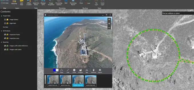
Drone2Map for ArcGIS is Now Available Esri is pleased to announce the release of Drone2Map for ArcGIS, our new desktop app that allows you to turn drone-captured still imagery into
Business
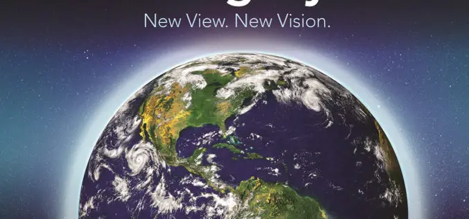
See Where Imagery and GIS Go Next in The ArcGIS Imagery Book: New View. New Vision.
Learn to Work with Imagery in Esri ArcGIS Using the Book and Companion Website Redlands, California—Getting a more intelligent picture of our planet just got easier thanks to an explosion
