
Tag "Digital Elevation Model"
NSF and NGA Support Development of New Topographic Maps of the Arctic
The National Science Foundation (NSF), in partnership with the National Geospatial-Intelligence Agency (NGA), is supporting development of high-resolution topographic maps of the Arctic that for the first time will provide
Telangana Government to Take Up LiDAR Survey of Barrages and Canals
As reported in The New Indian Express, the Telangana Government is all set to start the LiDAR survey of the altered Pranahita – Chevella project from August 18. The state government
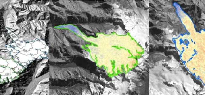
Modeling Glacier Elevation Change from Time Series DEM
Glaciers are always having an important impact on environment. Changing climate conditions have put a lot of pressure on our glaciers. Melting of glaciers could be very dangerous for life
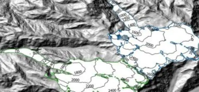
Modeling Glacier Elevation Change from DEM Time Series
Modeling Glacier Elevation Change from DEM Time Series – Wang, D.; Käb, A. Modeling Glacier Elevation Change from DEM Time Series. Remote Sens. 2015, 7, 10117-10142. Abstract: In this study, a methodology for

GeoShot Technologies Completed Large City Modeling Project Using LiDAR Data
GeoShot Technologies has successfully completed large city modeling using LiDAR data. “We are very excited to complete the first large scale city modeling project at GeoShot Technologies at a time

PCI Geomatics Released Geomatica 2015 Service Pack 1
PCI Geomatics, a world leading developer of remote sensing and photogrammetric software and systems, announced that it has released a service pack for Geomatica 2015, only a few short weeks
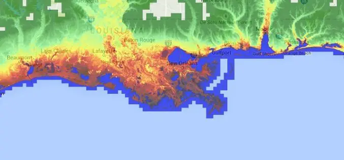
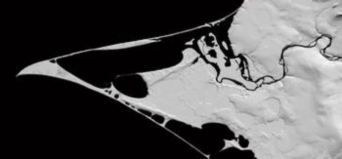
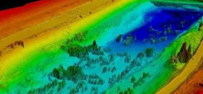
Accuracy Comparison of Publicly available DEMs and LiDAR DEM for Coastal Flood Risk Assessments
Coasts are experiencing the adverse consequences of hazards related to climate change and sea level rise and will be exposed to increasing risks of coastal flooding. Ten percent of the
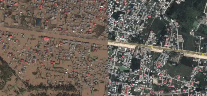
J&K Moves for Geospatial Modeling of Rivers for Flood Preparedness
J&K was severely affected by flood in September 2014, learning the lesson from past the J&K Government is planning to prepare 3D maps of terrain using geospatial techniques. Digital Elevation
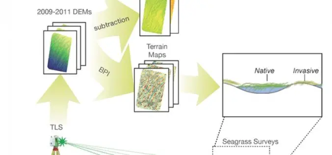
Terrestrial Laser Scanning Reveals Seagrass Microhabitat Structure on a Tideflat
Terrestrial Laser Scanning Reveals Seagrass Microhabitat Structure on a Tideflat – Michael Hannam and L. Monika Moskal Abstract: Local-scale environmental heterogeneity can provide microhabitats that influence the spatial distribution of competing species.

Webinar: Geomatica 2014 and LiDAR for Accurate DEM Creation
Geomatica 2014 and LiDAR for Accurate DEM Creation On-demand webinar: Digital Elevation Models (DEMs) play an important role in terrain-related GIS applications. Chief among the many factors that affect the
