
Tag "DEM"

How to Download Landsat Satellite Data?
In this exercise you will learn, how to download Landsat satellite data? The USGS Earth Resources Observation and Science (EROS) Center archive holds data collected by the Landsat suite of
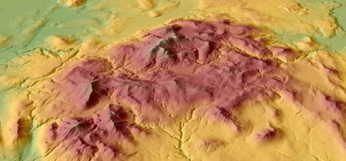
Free GIS Data – Elevation/ DEM/ DTM Data
Free GIS Data – Elevation/ DEM/ DTM Data Elevation/ DEM/ DTM Data GDEM: 30m resolution global elevation data derived from ASTER satellite images SRTM: Approx 90m (3 arc-second) resolution
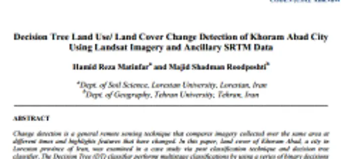
Decision Tree Land Use/ Land Cover Change Detection of Khoram Abad City Using Landsat Imagery and Ancillary SRTM Data
Decision Tree Land Use/ Land Cover Change Detection of Khoram Abad City Using Landsat Imagery and Ancillary SRTM Data Hamid Reza Matinfar and Majid Shadman Roodposhti Abstract: Change detection is a general

Collection of elevation data in A&N Islands – NCSCM
Survey Tender – Expression of Interest (EOI): Collection of elevation data in A&N Islands – National Centre for Sustainable Coastal Management (NCSCM), Tamil Nadu, India The National Centre for Sustainable Coastal Management,
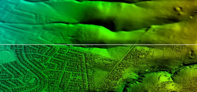
Confused Between DEM, DTM and DSM !
Submitted By: The term Digital Elevation Model (DEM), Digital Terrain Model (DTM) and Digital Surface Model (DSM) has several meanings and are not always understood properly, correctly or misinterpreted. In

Basic Photogrammetry
The classical definition of Photogrammetry is the process of deriving metric information about an object through measurement made on the photograph of the object. Photogrammetry is the science of making
