
Tag "Coastal"

Remote Sensing
USGS Developed High-Resolution Imagery of Coastal Wetlands to Identify Vulnerable Marshes across the US
Scientist have used a combination of remote sensing and satellite technologies to identify vulnerable marshes across the US.
Business
USACE Mobile District Signs WMR-532 to $46M Coastal Mapping Contract
WMR-532, the joint venture of Woolpert and Optimal Geo, will provide bathymetric and topographic lidar and imagery in support of JALBTCX task orders around the world. DECATUR, Ala. (July 26,
Business
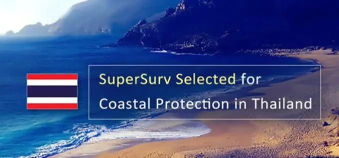
SuperSurv 10 Selected for Coastal Protection in Thailand
Supergeo is delighted to announce that the cutting-edge mobile GIS app- SuperSurv 10 has been selected by a government agency that is in charge of protecting marine and coastal resources
