
Tag "Climate Change"
Excellence in space – 10 years of TerraSAR-X
The TerraSAR-X satellite has been in service for twice the planned time. The data has been providing valuable insights regarding changes to the Earth’s surface for the past 10 years.
Gender Data in GIS Helps Reduces Climate Change Impacts
New Delhi, India – Gender in Geographic Information System (GIS), though new, plays a significant role in helping disaster risk management, and reducing environmental and climate change impacts in vulnerable
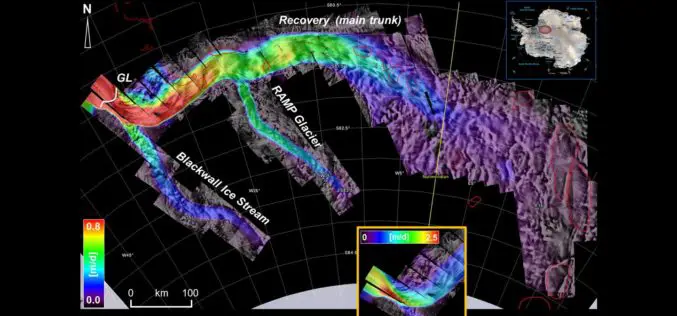
Esri Releases New Arctic Elevation Data
ArcticDEM Provides New Insight into Effects of Climate Change and Enables Communities to Take Early Action Redlands, California—Global smart-mapping leader Esri and the ArcticDEM project, a public-private initiative to produce

UAE to Adopt Space Technology for Farming
According to the recent news reported by the Gulf News, the UAE Space Agency has recently hosted senior Japanese officials at its Abu Dhabi headquarters for talks on applying space

Training Course on GIS and Remote Sensing For Climate Change Impact Analysis and Adaptation
Training Course on GIS and Remote Sensing For Climate Change Impact Analysis and Adaptation October 10 – October 14, 2016 This training will offer a set of methods and techniques

Royal Society Funded PhD Studentship: Remote Sensing to Assess and Monitor Funding Conditions
Swansea University is a research-led university that has been making a difference since 1920. The University community thrives on exploration and discovery, and offers the right balance of excellent teaching
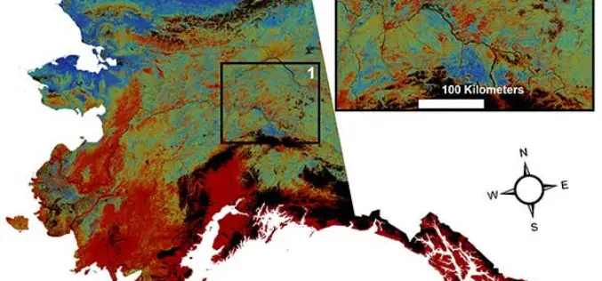
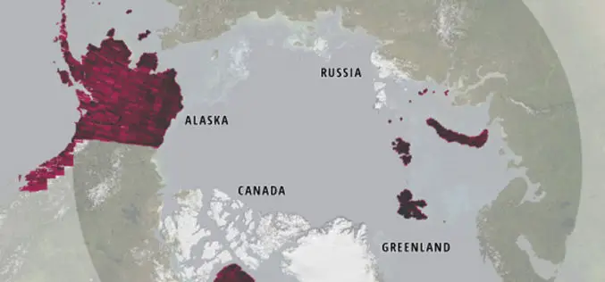
USGS Projects Large Loss of Alaska Permafrost by 2100
Using statistically modeled maps drawn from satellite data and other sources, U.S. Geological Survey scientists have projected that the near-surface permafrost that presently underlies 38 percent of boreal and arctic

New Map Boosts Understanding Of Complex UN Climate Regime
Griffith University research has led to a comprehensive and interactive guide to a major policy instrument tackling global warming Researchers from Queensland’s Griffith University have helped create a comprehensive and
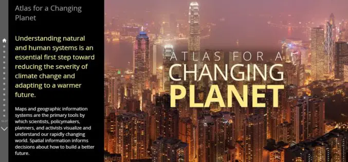
Atlas for a Changing Planet Story Map Delivers Cause and Effects of Climate Change
Esri’s Atlas for a Changing Planet Story Map Delivers Geographic Insight for Sustainable Planning and Development Redlands, California—Esri, the world leader in geographic information system technology, released an interactive map
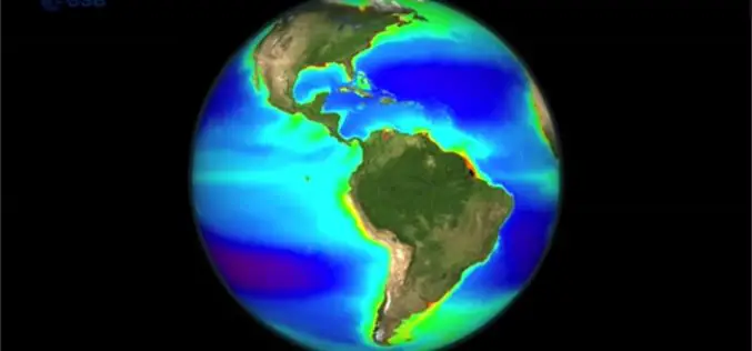
Learn the Basic about Monitoring Climate from Space
Seeing the Earth from space allows us to gain this global perspective. By using Earth observation techniques, we can now monitor global environmental change on a scale that has never
