
Tag "ArcMap"
Software
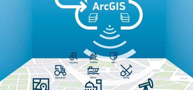
ImageConnect to Add High Resolution Imagery by DigitalGlobe into ArcGIS Desktop Environment
DigitalGlobe in partnership with Esri has come up with a plug-in “ImageConnect” to enhance the GIS experience of ArcGIS platform user. ArcGIS users can download the plugin from ArcGIS Online
Business
Australian Land Survey Firm Increases Map Quality by SuperGIS Desktop
Supergeo Technologies, the leading GIS software and solution provider, announces that SuperGIS Desktop assists Mesurage Group Pty Ltd, Australia to process surveyed data for value-added applications and services. Located in

Business
Software
The Wait is Over: LizardTech Launches GeoGofer for Powerful Image Searching and Sorting
Now users can tag and organize geospatial imagery quickly and easily; integrates with Esri Technology LizardTech®, a provider of software solutions for managing and distributing geospatial content, has launched GeoGofer,
