
Tag "ArcGIS Online"
November Update of ArcGIS Online Features
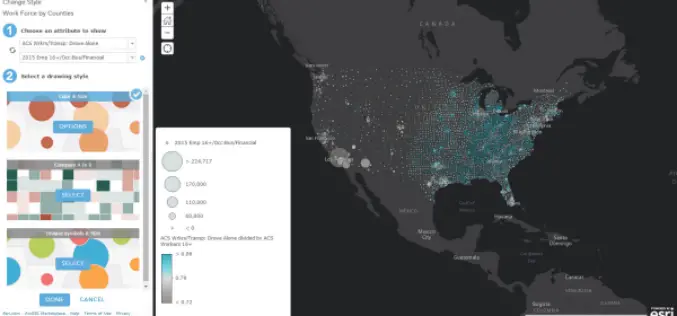
Esri has released the November 2015 update for ArcGIS Online features, which includes new options for visualizing your data, enhancements to administering your organization, and improvements to the design of the
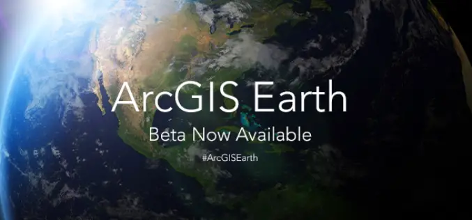
ArcGIS Earth Beta Now Available
Sign up for the beta program for ArcGIS Earth beta to download, Esri’s new 3D app. By participating in the program, you will be among the first to test-drive a prerelease

Esri’s ArcGIS Online Approved as a Grade 5-12 Learning Resource in British Columbia
Cloud-based mapping platform provides opportunities to develop students’ spatial & critical thinking If you’re an educator in British Columbia looking for a way to engage your students in various subjects
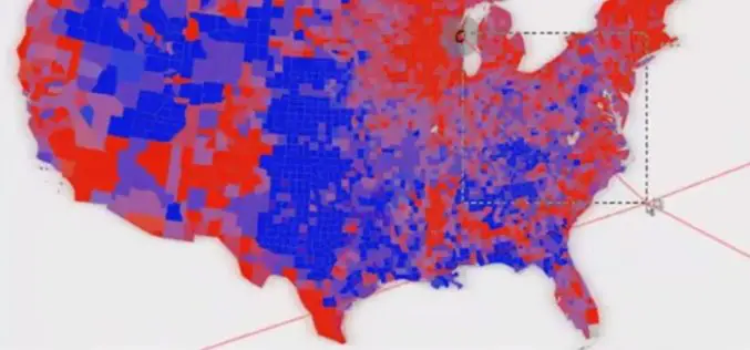
Using Vector tiles Facilitate Your Mapping Experiences
One of all GIS products that Supergeo Technology has been devoting to developing, implementing and promoting for the world, SuperGIS Desktop 10, is going to be launched for global users.

TerraGo Edge 3.7 Enhances Forms and Expands High Precision GPS/GIS Integration
TerraGo Edge 3.7 Enhances Forms and Expands High Precision GPS/GIS Integration September 15, 2015 12:00 – 12:30 PM ET The latest release of TerraGo Edge further expands integration with GIS

Esri and Leica Geosystems Supercharge Mobile Data Collection with ZenoCollector
Rugged Precision Handheld, Powered by Collector for ArcGIS, Includes an ArcGIS Online Subscription Esri Collector for ArcGIS, a configurable mobile app for collecting and editing data in the field, has
Esri Updated Standard Global Demographic Data for 45 Countries
Esri has updated the Standard Global Demographic data for the 45 countries and is now available on the ArcGIS platform. The data is sourced from Michael Bauer Research, is available across the ArcGIS
Esri Joins International Partnership to Enhance Climate Resilience in Developing Countries
Colombia, Ethiopia, and Bangladesh to Harness ArcGIS Platform to Achieve Long-Term Sustainability Redlands, California—In a next phase of support of The White House Climate Action Plan, Esri will donate its best-of-breed
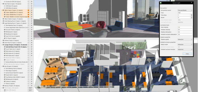
Esri CityEngine 2015 Provides Advanced 3D City Design
New Features Provide a Faster, More Intuitive Experience for Modeling Virtual 3D Urban Environments Redlands, California—The release of Esri CityEngine 2015 allows GIS professionals, architects, planners, and urban designers to
Penn State University Offering Course on Maps and the Geospatial Revolution
Learn how advances in geospatial technology and analytical methods have changed how we do everything, and discover how to make maps and analyze geographic patterns using the latest tools. Penn
