
Tag "antarctic"

GIS
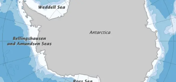
China Draws 3D Topographic Map of Antarctic Seabed
Chinese scientists have created a three-dimensional, digital topographic map of the Antarctic seabed using data collected during a recent expedition. The map was presented at a press briefing held Friday

Courses
Postdoctoral Researcher in Antarctic Glaciology/Satellite Remote Sensing
The University of Bristol has long been one of the UK’s foremost seats of higher education and a respected institution on the world academic stage. Today, we are widely considered
Remote Sensing
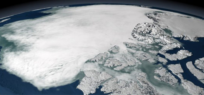
Error Discovered in Antarctic Sea-ice Record
Rising temperatures have caused the amount of Arctic sea ice to shrink dramatically since global observations began in the 1970s. But on the other side of the world, sea ice
Remote Sensing
Satellite Data Not Enough To Predict Melting Ice Caps
New research from a team of European scientists has found there is not enough satellite data to determine the rate of polar ice cap melt very far into the future and
