
Tag "Amazon Web Services"
HERE Location APIs and Services Now Available to Developers on AWS Marketplace
HERE location platform integrated within AWS Marketplace Enterprise-grade, SLA-backed location services powered by the HERE location platform Up to 250k transactions per month for free, including commercial use November 27,
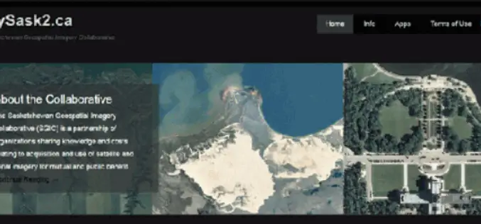
CubeWerx Signs Multi-year Contract to Provide Managed Imagery Services to SGIC
Gatineau, QC, Canada, November 13, 2018 – CubeWerx announced today it has signed a four-year contract to provide managed imagery services to the Saskatchewan Geospatial Imagery Collaborative (SGIC). CubeWerx successfully completed porting

DigitalGlobe Goes All-In on AWS
Global leader in commercial high-resolution satellite imagery selects AWS to support future growth and bring an advanced machine learning framework to geospatial data analysis SEATTLE–(BUSINESS WIRE)–Nov. 30, 2017– Today, Amazon Web

Global Mapper SDK Now Available on Amazon Web Services
Hallowell, Maine – November 16, 2017 – Blue Marble Geographics (bluemarblegeo.com) is pleased to announce that the Global Mapper Software Development Kit (SDK) has been expanded to provide data processing capabilities
Global Mapper 18.2 Released with New 3D Digitizing Functionality and Support for Connecting to Amazon Web Services
Hallowell, Maine – May 30, 2017 – Blue Marble Geographics (www.bluemarblegeo.com) is pleased to announce the immediate availability of Global Mapper version 18.2. This latest upgrade to the version 18
Esri Offers Customers On-Demand Deployment and Managed Services in the Cloud
November 30, 2016 – Redlands, California—At this year’s AWS re:Invent, global smart-mapping leader Esri announced that customers can now deploy select ArcGIS licenses from Amazon Web Services (AWS) Marketplace instantly, using
Earth on AWS: Large Geospatial Datasets Available on the Amazon Web Services
Amazon Web Services (AWS) had launched the Landsat on AWS in the year of 2015, a Public Dataset made up of imagery from the Landsat 8 satellite. On September 16, 2016 (AWS Blog),

Amazon Web Services – City on a Cloud Innovation Challenge 2015
Amazon Web Services simplifies IT workloads that governments struggle with every day, making it easier to deploy and manage the technology our customers depend on, such as Geographical Information Systems
Download Free Landsat 8 Imagery from the Amazon Web Services Cloud
Amazon has announced the availability of Landsat on Amazon Web Services. Under this program, Amazon will host 1 petabyte of Landsat imagery from USGS on the Amazon Web Services Cloud. You
