
Tag "3D GIS"

Webinar: Smart City Solutions with Interactive 3D GIS Technologies
Smart City Solutions with Interactive 3D GIS Technologies Feeling not enough about traditional 2D maps? With SuperGIS 3D Earth Server, you can see different features and explore spatial relations on

PR: Esri CityEngine Increases the Power of Virtual Design
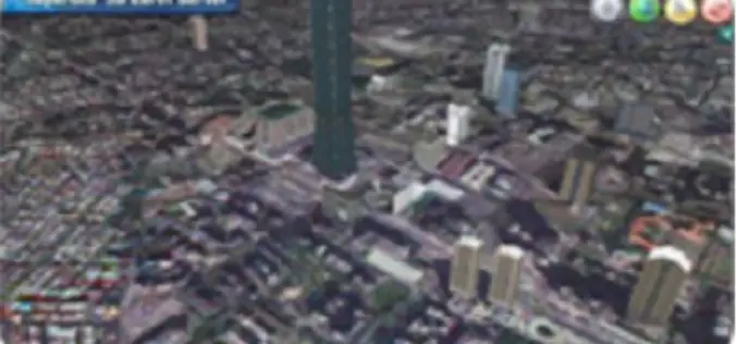
Esri’s Latest 3D GIS Design Software Makes Working with Complex 3D Urban Environments Easier and Faster Redlands, California—Esri has released CityEngine 2014, the latest version of its advanced 3D GIS urban design
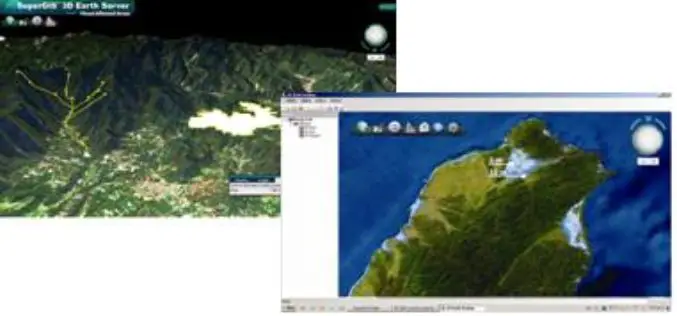
SuperGIS 3D Earth Server 3.2 to Enhance 3D Map Display Performance
Supergeo Technologies is going to release front end applications for enhanced 3D map display performance for SuperGIS 3D Earth Server 3.2 users. The desktop client application, SuperGIS 3D Earth, is
SuperGIS 3D Earth Server 3.2 Officially Launched
Supergeo Technologies, the leading global provider of complete GIS software and solutions, officially released SuperGIS 3D Earth Server 3.2, to assist enterprises in managing, integrating, publishing and displaying geographic data
