
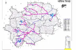
![]() According to recent news, The Telangana government will soon start a scientific integrated land information survey in nine districts of the state.
According to recent news, The Telangana government will soon start a scientific integrated land information survey in nine districts of the state.
The estimated time period to complete the task is of five years with an expenditure of Rs 1,000 crore.
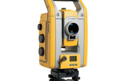
After 1934, such a scientific survey, which involves geographical information system, global positioning system and satellite imagery technology and other technology, will be in use for the first time in Telangana. Similar scientific land surveys were taken up in Thailand, Canada, the UK and Australia.
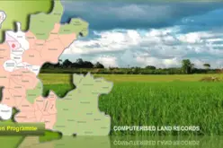
The National Remote Sensing Agency, which has already completed a pilot project in Nizamabad, will take up the survey. The integrated survey will be taken up with `1000 crore fund, while the Central Urban Development Ministry has already announced to fund 75 per cent of the expenditure.
Source: Deccan Chronicle


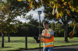


It is god send opportunity for all GIS, GPS, SURVEYING Professionals to work in this project.Looking forward to work in this Scientific Land Survey for Telangana Districts project.
please regarding give the information about agriculture land srvey