A team of Australian and U.S. researchers has found a small tectonic plate or microplate in the Indian Ocean.
Using Satellite maps, researchers discovered the Indian Ocean microplate, called Mammerickx Microplate and measuring roughly the size of West Virginia, using seafloor maps that combine data drawn from radar altimeters onboard the Jason-1 ocean surveying spacecraft launched in 2001 by NASA and the French space agency, CNES, and CryoSat-2, a European Space Agency environmental research satellite launched in 2010.
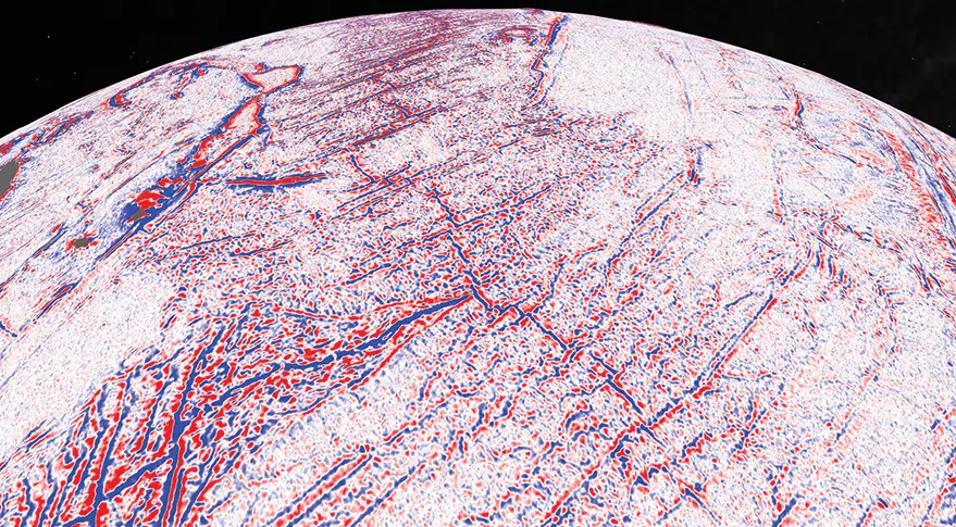
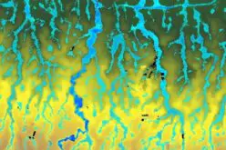
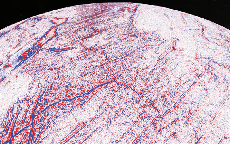
A gravity gradient model of the central Indian Ocean shows the junction of the African tectonic plate (left), the Indo-Australian plate (right) and the Antarctic plate (bottom). Credit: Scripps Institution of Oceanography
In 2014, a Scripps team led by geophysicist David Sandwell used the satellite data to produce a comprehensive set of seafloor maps showing thousands of underwater mountains and other tectonic features never before detected. Those maps have since been folded into Google Earth’s ocean maps.
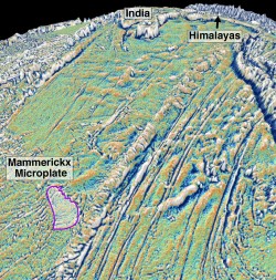
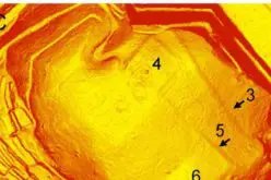
Mammerickx Microplate. Credit NASA
With the space-based altimeters on Jason-1 and CryoSat-2, researchers can detect features on the ocean floor that measure 6 kilometers or more. Scientists obtain far more accurate maps using data drawn from multibeam echosounders, ship-based sonars that can pinpoint features as small as 200 meters.