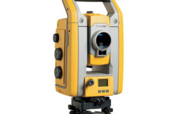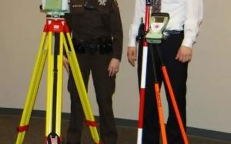
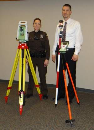
Dodge County Crash Investigation Team members Deputy Jaime Buelter, left, and Detective Ted Sullivan train on the newly acquired robotic total station that will help officers collect evidence at crime/crash scenes more quickly and with less manpower.
Image Source: fdlreporter
According to recent news, Dodge County, USA has obtained Leica Robotic Total Station to collect evidence faster at crash scenes.
Investigation of traffic collision is quite a challenging task for investigators across the world. Introduction of new technological tools (total station) are truly effective in documentation of crash and crime scenes along with solid forensic training and skills of investigation team.
The total stations and drawing software are used mostly for serious injury and fatal accidents.Because of the severity and scope of these scenes, often will overlay mapped scenes on top of aerial images of them provided by Google Earth.
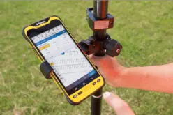
Dodge County Sheriff Pat Ninmann said the sheriff’s department’s crash investigation team recently obtained a new Leica Robotic total station and EVR scene software for the data collector.
“The Leica system is robotic and only requires one person to operate, as opposed to the Sokkia total station, which required a minimum of two persons to operate,” Ninmann said.
“Utilizing the new robotic total station, the same scene and points of evidence can now be collected in less than one hour by one trained crash investigator,” Ninmann said. “The new equipment will allow us to better utilize our resources at crashes and could shorten the length of time a road would need to remain closed from a crash.”
Source: fdlreepoter
Related News:
- Crash Investigators are using Total Station and 3-D Imaging
- Total Station to Investigate Traffic Collision