Pix4D Launches New Ground Image Capture App for 3D Modeling With the iPad Pro and iPhone 12 Pro
Pix4D, the photogrammetry industry leader, announces today the release of a new app product for ground images acquisition: Pix4Dcatch.
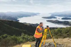
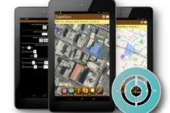
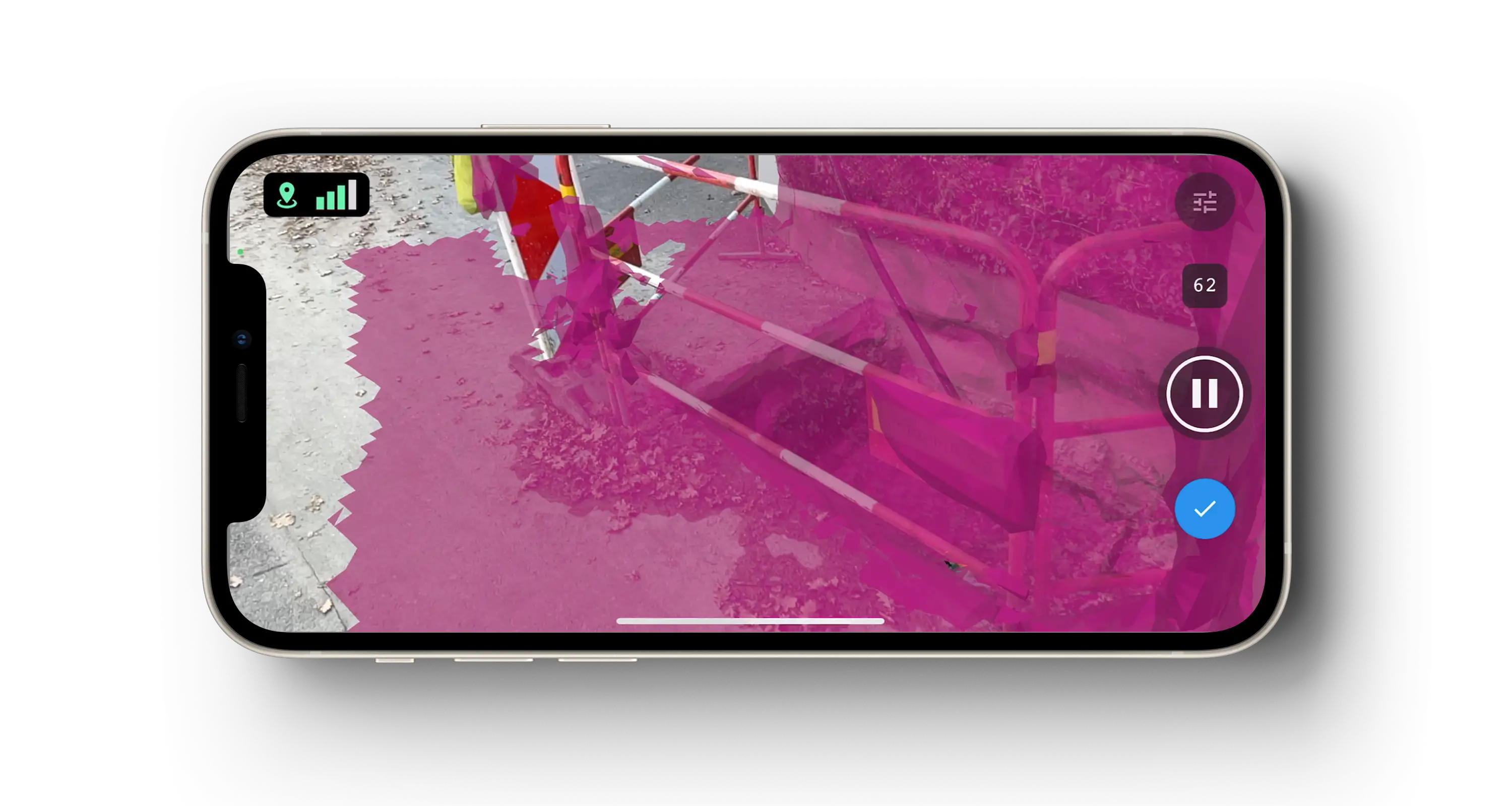
Pix4Dcatch empowers users to easily create ground-based 3D models using an iOS mobile device. No need to be an expert, the user simply scans the area of interest with Pix4Dcatch. The app records pictures along with GPS positions. Compatible with recent iOS devices, but optimized for the newest iPad Pro and iPhone 12 Pro and Pro Max with LiDAR sensors, scanning is done with real-time 3D meshing for scene completion feedback. This process of giving live feedback enables a workflow that secures optimal results. Images are then automatically uploaded to Pix4Dcloud for a fast generation of scaled and georeferenced 3D models and points clouds that can be measured, shared and exported.
Pix4Dcatch enables professionals in the construction, inspection and public safety sectors, amongst many others, to save time and money, giving them the opportunity to expand their business offering to include rapid creation of accurate 3D ground models.
Christoph Strecha, Founder and CEO of Pix4D, comments: “Until very recently, capturing accurate ground data for 3D modeling most often required specialized hardware or add-ons, as well as professional expertise. The strength of Pix4Dcatch is allowing anyone using consumer devices to easily acquire the right terrestrial data for digitizing the space around them and turn it into accurate 3D models. It is the missing link in data acquisition and complements Pix4D’s software solutions.” He adds “In previous years, drones have become accessible to a big audience. In response, Pix4D innovated to release Pix4Dcapture, a free mobile app that quickly became a reference tool for drone mapping. Today mobile devices are not only high-quality image capturing tools but are also becoming professional measurement tools, enabling Pix4D to leverage their use to offer end-to-end workflows to our customers.”
Pix4Dcatch is free to try. Download it now from the App Store.
About Pix4D
Pix4D (pix4d.com) develops cutting-edge software that converts images taken by hand, drone, or plane into accurate and georeferenced survey-grade 2D mosaics, 3D models, and point clouds. Founded in 2011, Pix4D is rapidly expanding from its headquarters in Lausanne, Switzerland, to offices in Berlin, Madrid, Denver, San Francisco, Shanghai, and Tokyo.
Also Read –
Pix4Dmatic Latest Digital Photogrammetry Software