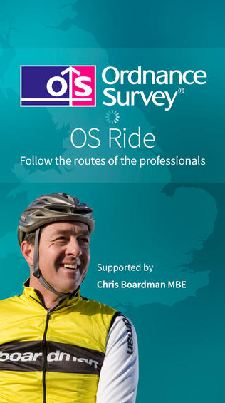
 With less than three months to go before The Grand Départ in Yorkshire, Ordnance Survey has teamed up with cycling legend Chris Boardman to launch a free cycling app to help cyclists experience the routes famously ridden by the professionals.
OS Ride features detailed routes of the first three stages of the Tour de France, which comes to Great Britain in July 2014. The easy to use app uses Ordnance Survey’s detailed outdoor mapping, enabling cyclists to successfully navigate and track their progress as they ride the routes ahead of Wiggins, Froome, Cavendish and co.
OS Ride is supported by Chris Boardman MBE who said: “The Tour de France is one of the most challenging events in the sporting calendar and I am really looking forward to it visiting Great Britain in 2014. With OS Ride all cyclists can experience the thrill of the stages for themselves, whilst using trusted and accurate maps from Ordnance Survey.”
OS Ride contains mapping for all three British stages of the 2014 event which take place on 5, 6, 7 July 2014, as well as high quality route maps for historic stages of the tour when the world’s most famous cycle race came to Great Britain in 2007, 1994 and 1974. Each stage has also been split into smaller segments making the app a fantastic tool for all levels of road cycling.
The exciting new app also includes five bonus routes selected by Chris Boardman, featuring some of his favourite rides from across the country, including Aviemore, Lyme Regis, Llandegla, the Peak District and the Lake District, meaning that you can get involved wherever you live.
The fast and easy to use app comes bundled with a selection of trusted mapping scales, and height data, allowing users to effectively plan and safely ride the challenging routes. OS Ride allows cyclists to track their progress, speed, distance and time as well as displaying accurate height data showing the elevation across all the routes. OS Ride even allows cyclists to celebrate and share their achievements with friends and family via social media.
Chris Boardman added: “OS Ride allows keen cyclists to record, track and share their stage achievements for both the 2014 stages and historic stages from previous tours. I especially like the option to ride smaller segments of the stages, making it accessible for a wide range of abilities and a great tool to support training programmes. This app is a must have for any keen road cyclist with unrivalled mapping accuracy showing added detail including height and elevation data. The digital maps also feature valuable tourist information for those planning to make the most from the areas surrounding the tour stages.”
The free iOS app is available to download from the App Store – https://itunes.apple.com/GB/