Opportunity for Utilizing Chandrayaan-1 Data from Terrain Mapping Camera and Hyperspectral Imager
Space Applications Centre (SAC), Indian Space Research Organisation (ISRO), Department of Space (DOS), Government of India, declares an “Announcement of Opportunity (AO)” to carry out scientific research by utilisation of Chandrayaan-1 data from Terrain Mapping Camera (TMC) and Hyperspectral Imager (HySI) instruments.
Chandrayaan-1 has been the first Indian lunar mission launched on 22nd October, 2008 and was designed to study the lunar surface in terms of photo-geology, chemical and mineralogical mapping, elemental abundance, radiation environment and exploration of Polar Regions of the Moon. The satellite had 11 instruments onboard which were selected to meet the specific science objectives.
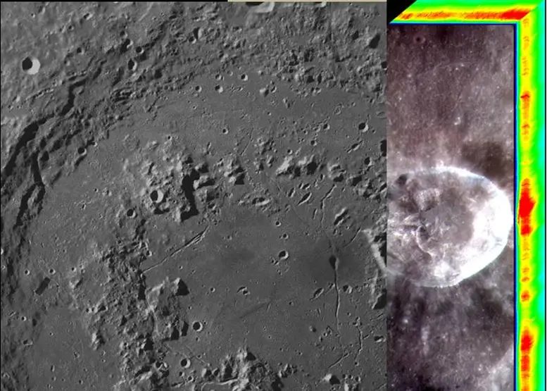
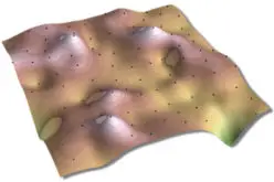
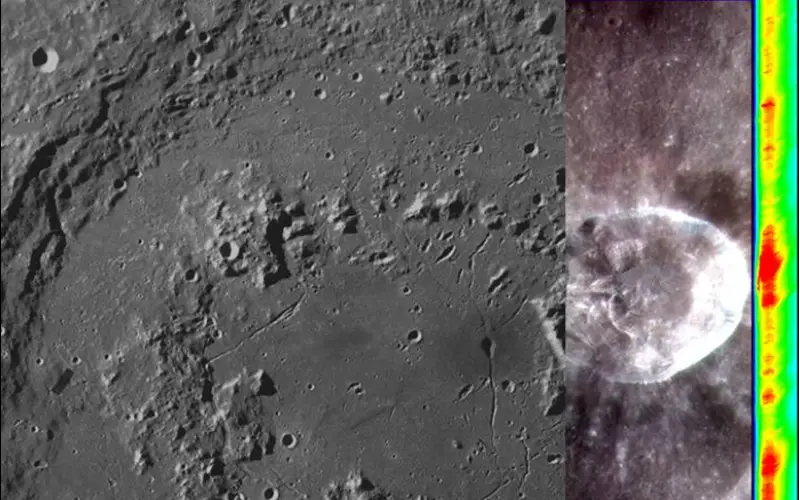
Overview of Chandrayaan-1 TMC and HySI data utilisation (CH1-AO).
Credit: ISRO
The indigenous payloads on Chandrayaan-1 were TMC (with 5m resolution and 20km swath), HySI (spectral resolution of 15 nm and spatial resolution of 80 m with a swath of ~20 km), Lunar Laser Ranging Instrument (LLRI) and High-Energy X-ray spectrometer (HEX) and a Moon Impact Probe (MIP) to impact on a predetermined location on the lunar surface.
The data provided by the instruments onboard Chandrayaan-1, have been extensively used to pursue questions related to lunar science and applications of remotely sensed data to understand early history of lunar evolution.
TMC mapped the lunar surface in panchromatic mode and provided the topography of the lunar surface, which is useful for morphological and morphometric studies. HySI mapped the lunar surface in 0.42-0.96 µm spectral range (64 spectral bands) for extracting the broad mineralogical/lithological information.
The TMC and HySI datasets from Chandrayaan-1 mission is available at the Indian Space Science Data Centre (ISSDC) website (http://www.issdc.gov.in).
This Announcement of Opportunity is open to scientific community for submitting research proposals towards utilisation of data from TMC and HySI payloads in the broad categories like compositional and geomorphological mapping.
It should be noted that selected project proposals through this AO which are from within India will be provided limited financial support towards meeting the salary of a research student, computational facility, contingencies and limited travel to attend Project meeting and workshops.
Who can submit a Proposal?
Proposals could be submitted by individuals or a group of scientists and academicians belonging to recognized institutions, universities, planetaria and government organisations of India. Only those having at least a minimum remaining service of four years before superannuation are eligible to lead the project as PI/Co-PI. The proposals must be forwarded through the Head of the Institution, with appropriate assurance for providing necessary facilities for carrying out the projects under this AO programme.