
GIS: Revolutionizing Military Strategy and Operations
29K views · Jul 5, 2024
This video explores how Geographic Information Systems (GIS) technology is transforming modern warfare and defense strategies. It examines the critical applications of GIS in areas such as terrain evaluation, naval operations, air operations, weather anal


How AI and aerial imagery can improve damage assessments in agricultural insurance
5K views · Aug 19, 2022
Technological development for agricultural insurance has been the use of remote imaging for damage assessments. Geospatial tools such as satellite imagery are increasingly being used to reduce the time providers spend in-field, giving them data on a claim

Solar Induced Chlorophyll Fluorescence for Crop Stress Monitoring
4K views · Mar 27, 2022
The Solar Induced Chlorophyll Fluorescence-based crop monitoring method mostly addresses crop physiological changes. This method delivers information to the user from a perspective relating to the crop’s biophysical activities than biochemical changes. S

How Geospatial Technologies Are Bringing Another Green Revolution In India
6K views · Mar 9, 2022
How Geospatial Technologies Are Bringing Another Green Revolution In India
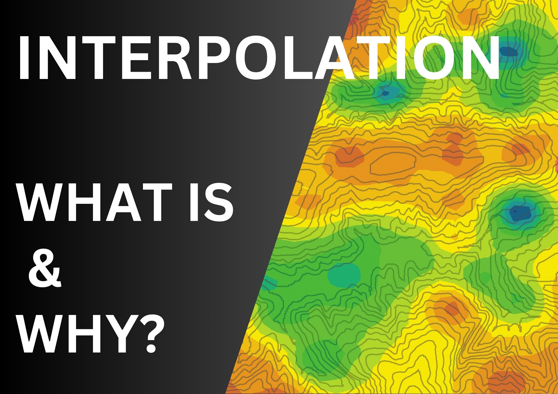
What is Interpolation?
3K views · Sep 1, 2024
What is InterpolationIn this, we've covered what interpolation is, its purpose, how to choose the right technique, and how it’s applied in GIS. Remember, understanding interpolation is key to making sense of the complex world of spatial data.
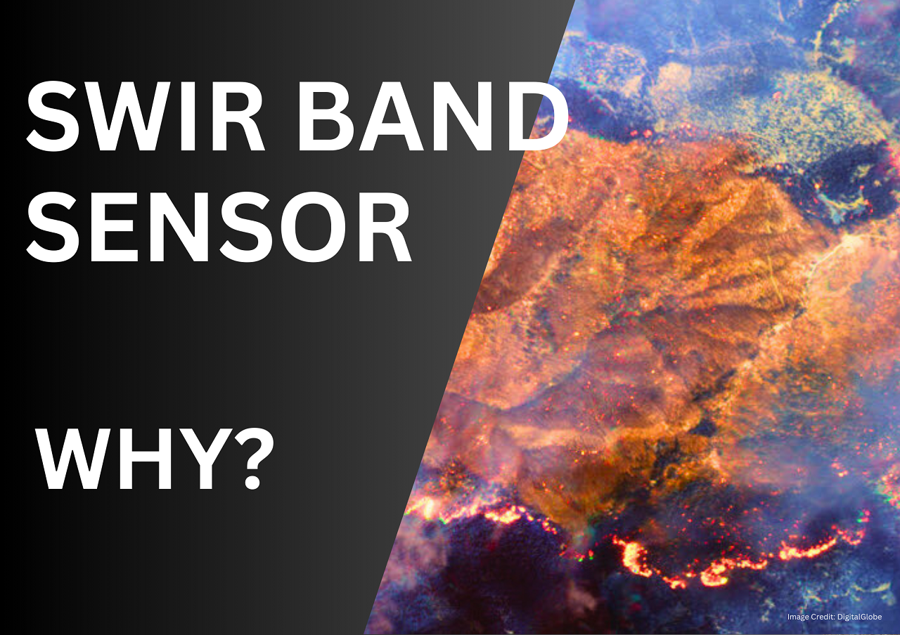
Why SWIR Band in Remote Sensing
1K views · Dec 18, 2024
Have you ever wondered why we need so many types of sensors in remote sensing? Visible light, near-infrared (NIR), thermal, panchromatic, and now—SWIR, the Shortwave Infrared band! Today, we’ll uncover the secrets of SWIR sensors and why they’re game-chan

Why does NDVI, NDBI, NDWI Ranges From -1 to 1?
756 views · Feb 24, 2025
Have you ever wondered how scientists monitor Earth's diverse landscapes from space? They utilize powerful tools like NDVI, NDBI, and NDWI to interpret satellite imagery. But what do these indices mean, and why do their values range from -1 to 1? Let's ex
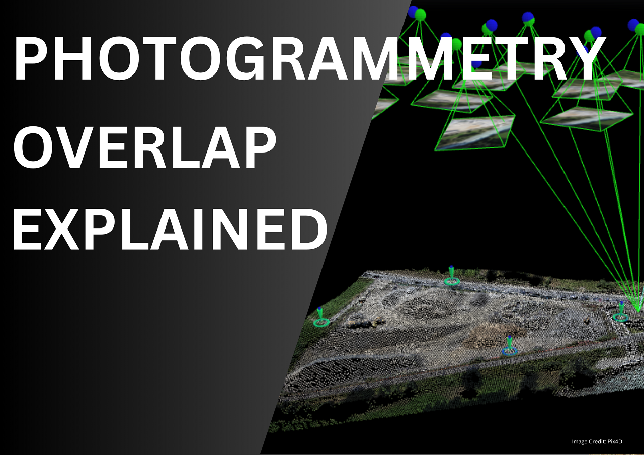
Types of Overlap in Photogrammetry Explained
104 views · May 31, 2025
📸 Learn the secrets behind perfect drone mapping and 3D model accuracy! In this video, we break down the Types of Imagery Overlaps in Photogrammetry — including forward overlap, side overlap, and triple overlap. Discover how overlaps help create accurate