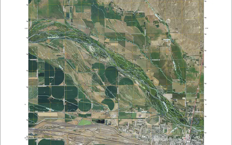
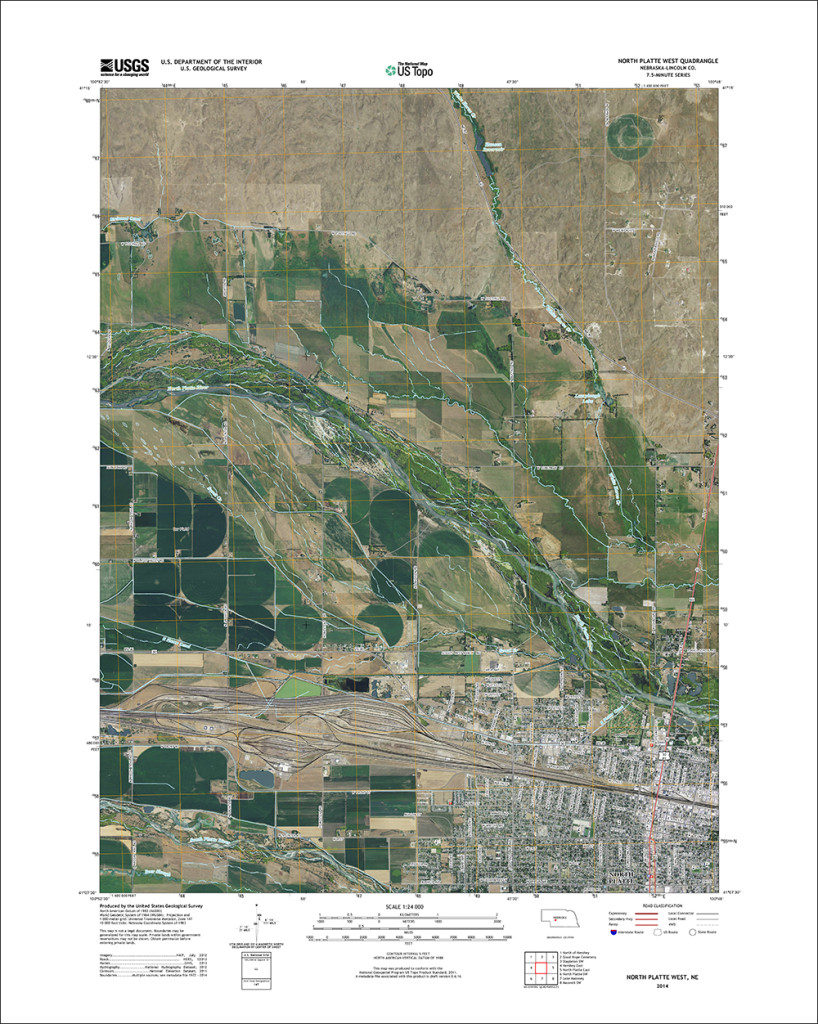
New version of the North Platte, Nebraska US Topo quadrangle: 2014, with orthoimage turned on.
Newly released US Topo maps for Nebraska now feature trails provided to the USGS through a “crowdsourcing” project operated by the International Mountain Biking Association (IMBA). Several of the 1,376 new US Topo quadrangles for the state now display trails along with other improved data layers such as map symbol redesign and new road source data.
“As an avid cyclist I look forward to exploring the new US Topo maps for bike trails as I plan my trips,” said Jim Langtry, National Map Liaison for Nebraska. “I look forward to the expansion of the trail network and hope this encourages the crowdsourcing effort to add and maintain trails for future updates. It would be great to see the Cowboy Trail, the nation’s longest rails-to-trail trek along the northern tier of Nebraska, included on the next update. You can hike, bike, or horseback ride a total of 195 miles on the completed trail from Norfolk to Valentine. Enjoy the small towns along the way, beautiful scenery and pristine air on the Cowboy Trail.”
For Nebraska residents and visitors who want to explore the rolling “cornhusker” landscape on a bicycle seat, the new trail features on the US Topo maps will come in handy. The data is provided through a partnership with IMBA and MTB Project. During the past two years, the IMBA has been building a detailed national database of mountain bike trails with the aid and support of the MTB Project. This activity allows local IMBA chapters, IMBA members, and the public to provide trail data and descriptions through their website. MTB Project and IMBA then verify the quality of the trail data provided, ensure accuracy and confirm that the trail is legal. This unique crowdsourcing venture has increased the availability of trail data available through The National Map mobile and web apps, and the revised US Topo maps.
These new maps replace the first edition US Topo maps for Nebraska and are available for free download from The National Map, the USGS Map Locator & Downloader website , or several other USGS applications.
To compare change over time, scans of legacy USGS topo maps, some dating back to the late 1800s, can be downloaded from the USGS Historical Topographic Map Collection.
For more information on US Topo maps: http://nationalmap.gov/ustopo/
Contact Information:
Mark Newell, APR ( Phone: 573-308-3850 ); Larry Moore ( Phone: 303-202-4019 );
-USGS