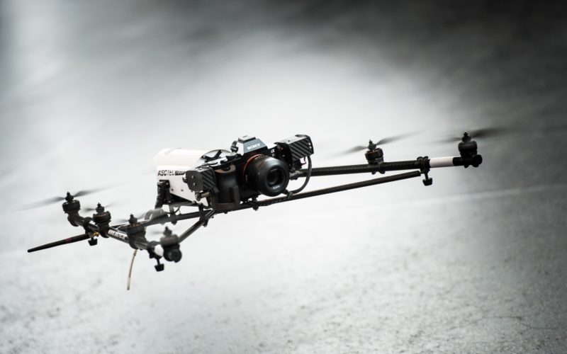
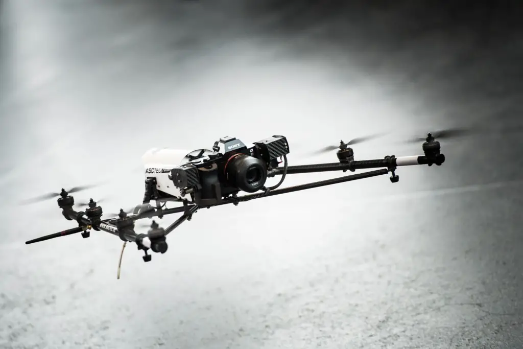
 Scientists have developed a new drone navigation system that allows these aerial vehicles to navigate without relying on a GPS signal or trained personnel.
With the goal of achieving autonomous flight of drones, Jose Martinez Carranza from the National Institute of Astrophysics, Optics and Electronics (INAOE) in Mexico, developed a vision and learning system to control and navigate them.
Martinez structured an innovative method to estimate the position and orientation of the vehicle, allowing it to recognize its environment, hence to replace the Global Positioning System (GPS) for low-cost sensors such as accelerometers, gyroscopes and camcorders.
The main idea was to avoid the use of GPS and use video cameras on board the vehicle for visual information and applying an algorithm to locate and orient the drone during its flight to use such information, researchers said.
To do this, a function that allows drawing a specific route on a map using aerial view was also adapted. Similar to Google Maps, it indicates autonomous navigation to a particular destination.
Researchers wanted to investigate different methods to perform autonomous flight of a drone on the outside environment where several challenges as wind currents occur and in areas where there is no GPS signal and have limited computational processing capabilities.
“At the stage of repeating, the pilot just makes the drone take off, but once in the air, autonomous flight algorithms kick into action and, by processing visual information captured by the camera, the vehicle recognizes where in the environment it is positioned,” said Martinez.
Once it has recognized its location, visual information estimates vehicle position, which is sent to the control algorithms, responsible for moving the drone, so that it navigates to each of the points made in the route recorded during the stage teaching.
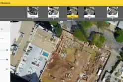
Software for ground control station was also developed, where the visual transmission from the drone is received in real time.
This allows the inspection chamber in-charge to take photos or videos needed to detect fractures or flaws in structures.
– PTI