NDRF Joins Hands with ISRO to Get Real-time Satellite Data for Disaster Rescue
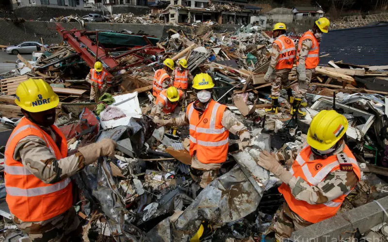
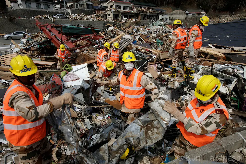
Members of National Disaster Relief Force (NDRF) of India search bodies in Onagawa, Miyagi, Japan on April 2, 2011 after massive earthquake and tsunami hit northern Japan. More than 10,000 were killed and more than 17,000 are still missing by the disaster hit on March 11. Forty six members of NDRF were deployed to Japan to help discovery effort.
Photo by Kuni Takahashi
In a bid to obtain the vital “third eye” to tackle disasters, the National Disaster Response Force (NDRF) has inked a pact with the National Remote Sensing Centre (NRSC) which will provide the force with geospatial and other satellite data for sharpening its relief and rescue operations.
A Memorandum of Understanding (MoU) was signed in this regard by NDRF and NRSC officials. The new partnership will allow the force to access the NRSC, Hyderabad and the Indian Space Research Organisation’s (ISRO) technical database on disaster management support to not only prepare for the onslaught of a natural disaster but also while preparing the physical response to such calamities.
“The force is committed to improve the quality of disaster response with the pace of time and signing of MoU with the NRSC would prove cornerstone in launching specialised disaster response which would be technology-driven,” NDRF Director General Singh told PTI.
As per the protocols of the MoU, the NRSC would also share with the NDRF mobile Applications developed as part of the National Disaster Emergency Management for responding to such emergency situations where the fury of the devastation caused by the nature, at times, remains unpredictable.
The MoU also details to obtain space data during disasters for effective use at the field-level, including maps and reports. Such information would give the vital ‘third eye’ to prepare and send fully equipped teams to initiate quick relief and rescue operations.
– PTI