 The last 25 years have seen dramatic developments in GIS technology and geographical information science. An important challenge for the GIS community is finding ways of taking advantage of latest development to build faster, cheaper, smaller GIS technology. One of the possible responses to this challenge would be to establish a co-operative development network, based on open source technology.
Now a days many free and open source but powerful GIS software like QGIS, GRASS are available which can do majority of GIS work which most of the users required for their work.
The aim of this conference is to provide the platforms to academicians, developers, researchers, government officials and technocrats to provide a platform to explore and discuss the power of Open source GIS.
The conference is proceeded by one day workshop which gives the opportunity to fundamental of few of open source GIS.
Conference Topics:
- Open Source desktop GIS software
- Open source web-GIS
- Collaboration: data collection, data sharing, and open standards
- Using Open Source GIS with proprietary software
- Comparisons between packages
- Visualization: effective presentation
- Open Source for e-Governance
- Case Studies of applications of Open Source Remote Sensing and GIS: Civil Engineering, Geological studies, Location based services, Health, Energy, Agriculture, Transportation, Disaster, Water and Climate change etc.
- Open architectures, open content, open science
Important Dates:
| Submission of abstract: | July 15, 2015 |
| Acceptance of abstract: | July 20, 2015 |
| Submission of full length paper: | August 20, 2015 |
| Acceptance of paper: | September 10, 2015 |
| One day Workshop: | October 8, 2015 |
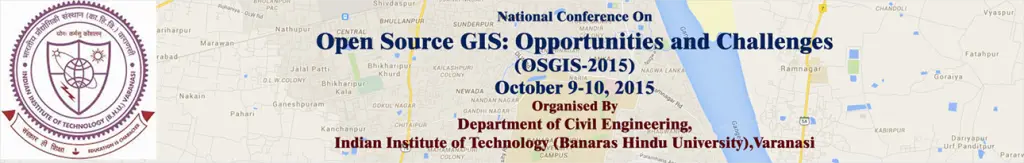
| Conference Date: | October 9-10, 2015 |
When and Where:
- October 9-10, 2015
- Department of Civil Engineering,
IIT BHU, Varanasi, Uttar Pradesh, India