 Russian President Vladimir Putin stated that the remote sensing technologies must be used to boost the Russian defense and security, develop the economy and social sphere, and increase the quality of the state’s governance.
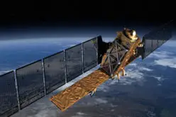
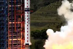
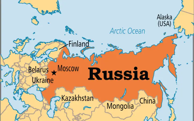
Russia needs to build up the orbital grouping with at least 15 spacecraft operating in the orbit by 2020 to provide remote sensing of Russia and the whole world, Russian President Vladimir Putin said Monday.
Currently, a group of eight Russian remote sensing satellites is in orbit around the planet. He pointed out that the demand for services linked to the use of data obtained by remote sensing was significantly increasing.
The Russian government approved in March 2016 the nation’s 10-year space program worth around 20.5 billion U.S. dollars, but it was partially cut since then.
According to Putin, the remote sensing system, in which Russia has undeniable competitive advantages, needs to be used more actively to benefit national defense and security, the economy, the social sphere, and state administration.
The president noted that the remote sensing technologies must be used to boost the Russian defense and security, develop the economy and social sphere, and increase the quality of the state’s governance.
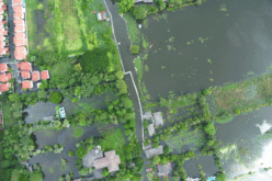
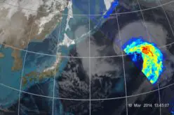
Putin added that the data obtained with remote sensing satellites could be used in the spheres of construction, developing infrastructure, forest management, agriculture, ecology, meteorology, and extraction of mineral resources. The Russian president also said that such technology could be used to better warn about and respond to disasters.
Source: Sputnik