The aim of this book is to demonstrate the use of SAR data in three application domains, i.e. land cover (Part II), topography (Part III), and land motion (Part IV). These are preceded by Part I, where an extensive and complete review on speckle and adaptive filtering is provided, essential for the understanding of SAR images. Part II is dedicated to land cover mapping. Part III is devoted to the generation of Digital Elevation Models based on radargrammetry and on a wise fusion (by considering sensor characteristic and acquisition geometry) of interferometric and photogrammetric elevation data. Part IV provides a contribution to three applications related to land motion.
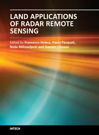
Edited by Francesco Holecz, Paolo Pasquali, Nada Milisavljevic and Damien Closson, ISBN 978-953-51-1589-2, 318 pages, Publisher: InTech, Chapters published June 11, 2014 under CC BY 3.0 license DOI: 10.5772/55833
Download Land Applications of Radar Remote Sensing


