 According to recent news reported by Kuwait News Agency (KUNA) – The Public Authority for Industry (PAI) stressed the importance of the satellite-connected Geographic Information System (GIS) which aims at securing local factories and monitoring any violations that may occur.
Monitoring the violations at the factories is done periodically every three months through the electronic industry survey technique and photographing factories, PAI Deputy Director General of Administration and Financial Affairs Abdulkareem Taqi told KUNA.
This system is one of the applications created by the authority to build a huge informatics base and provide industrial information accurately and easily to help workers and industrial investors, Taqi said.
This system has been operating since January 2015 and has contributed to PAI’s supervision of industrial areas, he added. Financial sanctions will be imposed on violating factories and they will be forced to remove them, said Taqi.
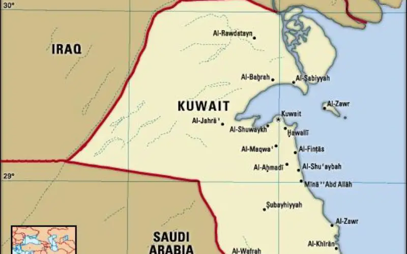
The Public Authority for Industry (PAI) was established on January 15th, 1997 as a public independent agency supervised by the Ministry of Commerce and Industry.