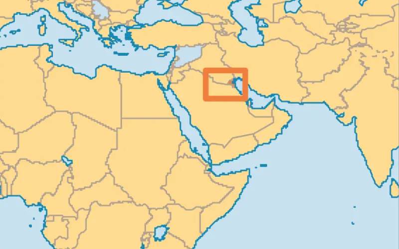
 KUWAIT – Deputy Director General for Information Technology Majida Al-Naqib said on Sunday that Kuwait spares no effort to keep up with remote sensing system and harness all the capabilities to take advantage of the latest in science in this area.
She said in the opening of “Discover Kuwait” conference organized by the Advisory Unit of the Geographical Information System (GIS) and remote sensing at the University of Kuwait that the apparatus seeks to acquire any device that would contribute to the development of performance and output including remote sensing and geographic information systems.
Al-Naqib added that the device is making continuous efforts in promoting optimal utilization of information technology in all aspects of life, pointing out that all government services have been developed to keep up with the latest developments in information technology.
For his part, Advisory Unit Manager of GIS and remote sensing at the University of Kuwait Dr. Mohammad Al-Sahli asserted the apparatus’ keenness to raise awareness in the Kuwaiti society about the importance of GIS and remote sensing systems and clarify its multiple uses and its key pillar in the strategic, urban and environmental planning.
He noted that this can be achieved through scientific lectures, training courses and workshops, as well as through the provision of technical advice and participation in the preparation of strategic plans for the rehabilitation of national cadres to enable the government and private sectors to take advantage of science and technology associated with spatial analysis.
Source: KUNA