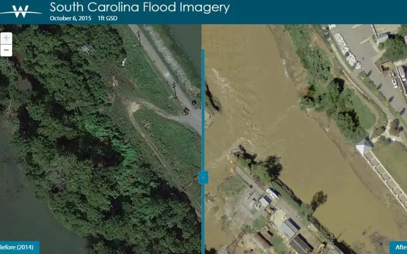
COLUMBIA, S.C. (Nov. 4, 2015) — One month ago today, a “thousand-year” rain event hit South Carolina, spurring widespread flooding throughout much of the state.
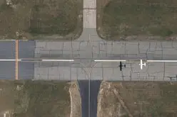
In an effort to address the immediate needs of those affected by the disaster and to document the event for future study, Woolpert collected perishable aerial imagery as the waters crested.
The national engineering and geospatial firm then shared the data generated by that imagery with multiple state agencies and local governments, including and the South Carolina Emergency Management Division (SCEMD), the South Carolina Department of Health and Environmental Control (SCDHEC), the South Carolina Army National Guard (SCARNG), Fort Jackson, the South Carolina Department of Transportation (SCDOT), Richland and Lexington counties, and the city of Columbia.
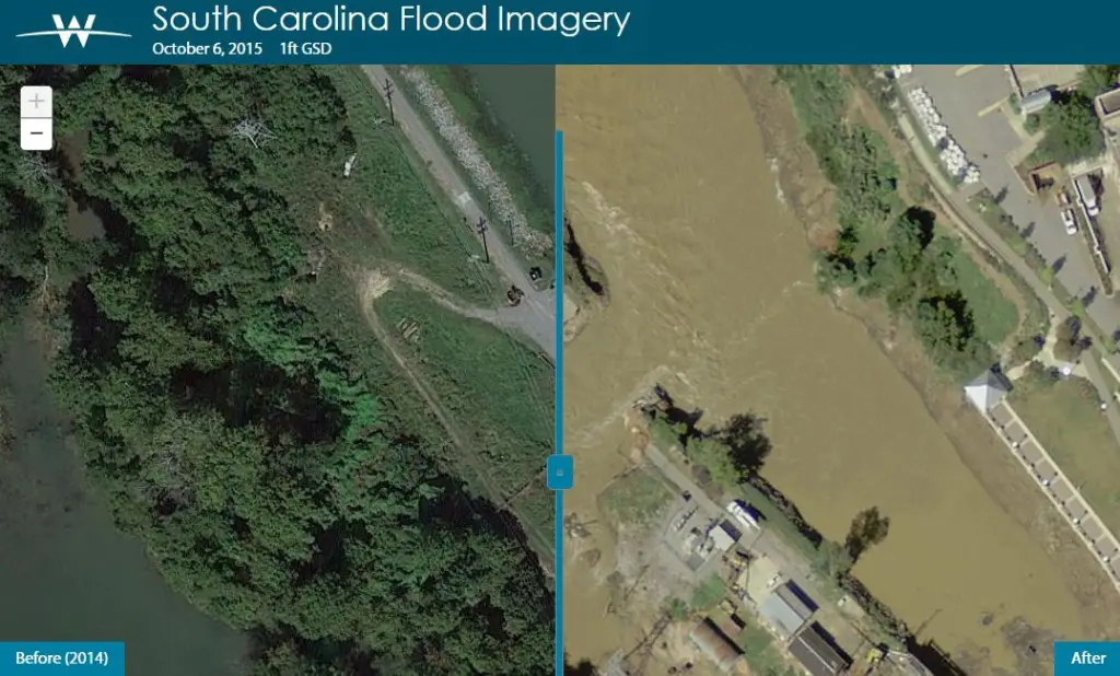
“Tuesday, Oct. 6, two days after the largest rainfall event ever recorded in the midlands of South Carolina, Woolpert conducted an aerial imagery flight of the hardest hit area,” said Maj. Bryan B. Tolar of SCARNG. “The resulting imagery was uploaded to a website created and hosted by Woolpert at its Dayton, Ohio, headquarters the next day.”
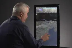
Tolar said the website helped local governments respond to road and dam failures, assisted in briefing ranking officials on the situation and provided valuable information to the general public via the SCEMD website.
Dr. Patrick Bresnahan, geospatial information officer for Richland County, said the imagery provided by Woolpert was valuable immediately.
“I am so thankful for getting that call from (Woolpert) and for what was provided,” Bresnahan said. “Having lived through a natural disaster, I learned it was the corporate citizens who were there first. Woolpert, Google—there was no paperwork, and (they) were there. It was a huge resource to have it immediately, instead of dragging this thing out.”
Woolpert has offices in Columbia, Mt. Pleasant and Greenville, S.C.
“Because of their S.C. roots and their understanding of the situation, Woolpert provided this service and product on their own initiative and at their own expense,” Tolar said. “Woolpert decided to conduct the flight, delineated the flight area with input from SCEMD, flew the area, flew back to Dayton, Ohio, downloaded and processed the data, designed and built the website, and went live in a span of 36 hours.”
Project Director Brian Bates, who managed Woolpert’s effort in Columbia, said the company felt the need to provide assistance where it could.
“South Carolina has been good to Woolpert for the past 20 years, and this was our opportunity to give something back,” Bates said. “We had the ability to do it, and we had the resources. If we had a chainsaw and that was needed to help our neighbor, we’d use a chainsaw. We had an airplane, so we used an airplane.”
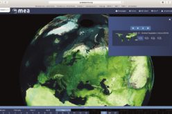
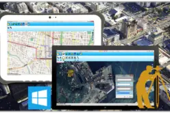
Bresnahan said the technology employed via the cloud, which housed the imagery away from impacted areas, and the mobile app were key to the use of the imagery.
“The Woolpert app worked and was very much needed since everybody’s out in the field,” he said. “Having that imagery tool, before and after the event, has been great. It has been used every day and continues to be a key part of our recovery efforts.”
For more information, visit woolpert.com/sc-flooding.