
Understanding China Beidou-Only Mandate- Strategic and Globa...
2K views · Jun 11, 2024 gisresources.com
China is launching a new campaign to crack down on the theft of sensitive geographical data by foreign powers, the country's spy agency has said. The Ministry of State Security announced a rigorous investigation following the unauthorized access of geographical information by unnamed adversaries for strategic gain. China's push for stricter data security measures aligns with its broader strategic initiatives, including the recent BeiDou-only mandate.

Quantum Technology as Supplementary Navigation Solutions
7K views · Apr 11, 2022 gisresources.com
Quantum technology-based Positioning, Navigation, and Timing (PNT) system is the need of the hour to overcome the limitations of satellite-based navigation. Read the full article on the GIS Resources website - https://gisresources.com/navisp-programme-quantum-technology-as-supplementary-navigation-solutions/ Background Music Credits- Music from Uppbeat (free for Creators!): https://uppbeat.io/t/paul-yudin/at-the-hotel License code: GHFYUHILVZ4JFH7W Video created using Lumen5 website.
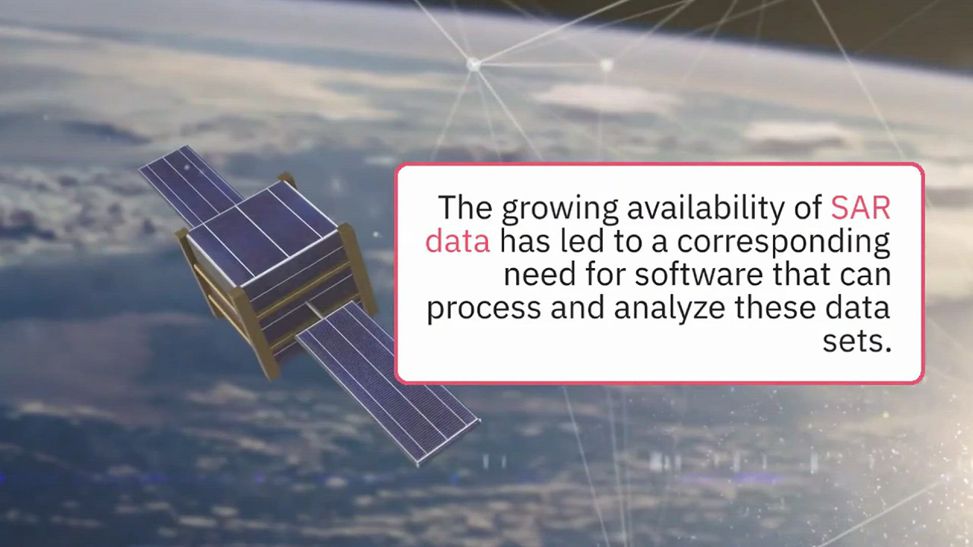
Free and Open Source SAR Image Processing Software
11K views · Mar 29, 2022 gisresources.com
Synthetic aperture radar (SAR) is a type of radar that uses the motion of the sensor platform to create a synthetic long-baseline antenna array. This process allows for high-resolution imaging even when the target is located far from the radar system. The growing availability of SAR data has led to a corresponding need for software that can process and analyze these data sets. This video post will introduce best free and open source SAR Image Processing Software and provide a brief overview of their features.
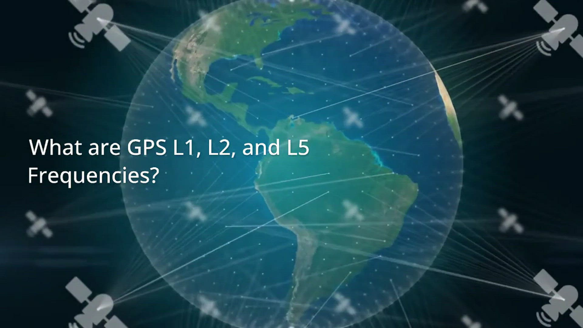
What are GPS L1, L2, and L5 Frequencies
5K views · Mar 13, 2022 gisresources.com
There are three civilian GPS frequency bands: L1, L2, and L5. In this video, we’ll take a closer at the GPS L1, L2, and L5 frequencies and what they mean or what signal message they carry from GPS satellites to GPS receivers. Read the full article on the GIS Resources website - https://gisresources.com/everything-you-need-to-know-about-gps-l1-l2-and-l5-frequencies/ Background Music Credits- Mini | Calm & Corporate Background - beautiful background

Understanding the Importance of L5 Frequency in GNSS
19K views · Aug 7, 2024 gisresources.com
What is the L5 frequency? The L5 frequency, at 1176.45 MHz (wavelength 25.48 cm), is one of the three primary frequencies used by GNSS for signal transmission. It is designed to provide higher accuracy and better signal quality than the older L1 and L2 frequencies. The L5 signal includes advanced features such as a wider bandwidth and improved error correction. The L5 frequency shared by IRNSS, GPS, Galileo, and QZSS is comparable to other L5/E5a signals for positioning and navigation.
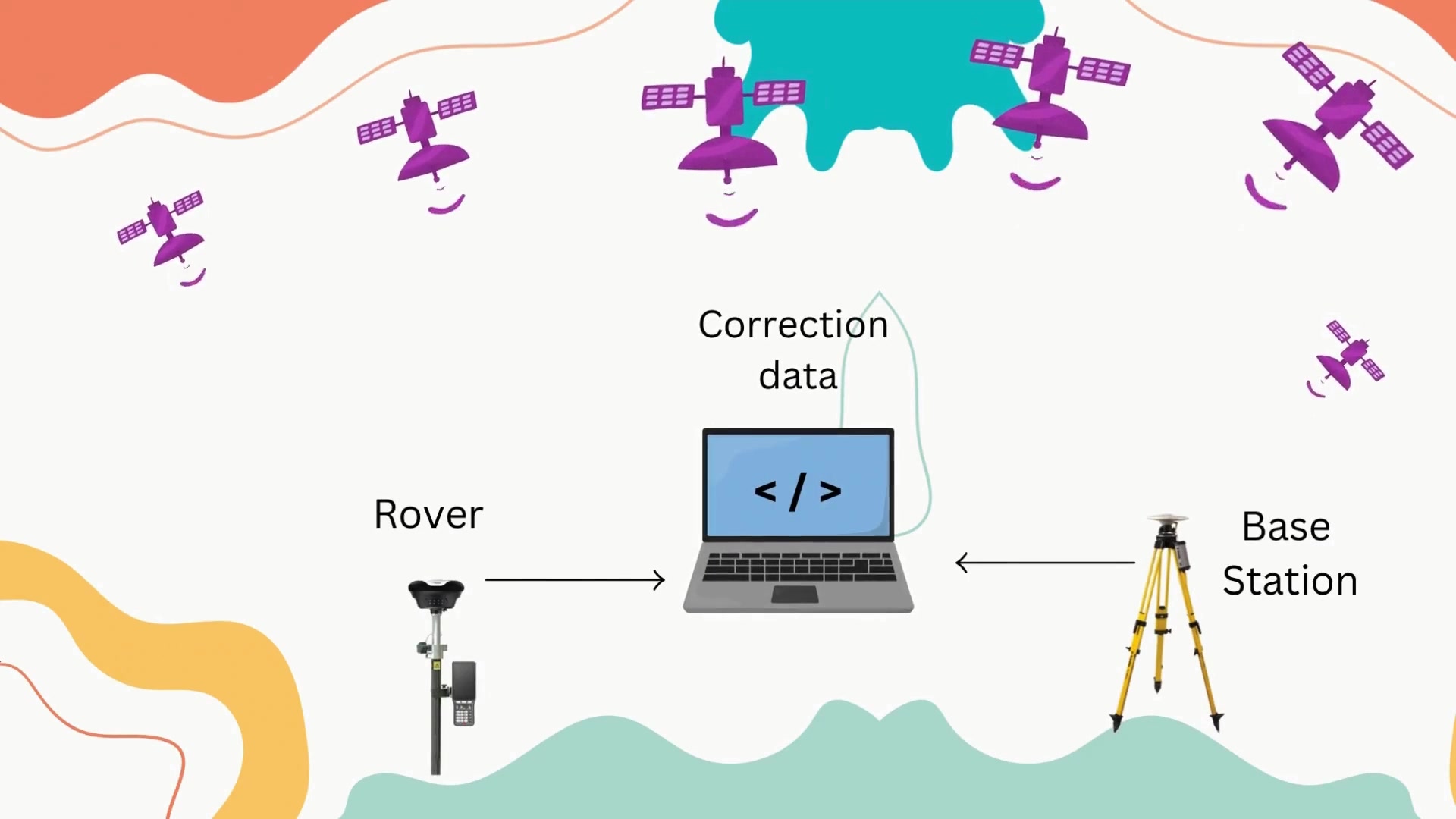
Free Online GPS-GNSS Post-Processing Services_ Boost Your Ge...
4K views · Jan 16, 2025 gisresources.com
-------------------------------------------------------------------------------- Free GPS/GNSS Online Post Processing Services -------------------------------------------------------------------------------- 1. AUSPOS - https://gnss.ga.gov.au/auspos 2. Trimble CentrePoint RTX Post Processing - https://www.trimblertx.com/UploadForm.aspx 3. CSRS – Precise Point Positioning - https://webapp.csrs-scrs.nrcan-rncan.gc.ca/geod/tools-outils/ppp.php 4. Scripps Orbit and Permanent Array Center (SOPAC) – Scripps Coordinate Update Tool (SCOUT) - http://sopac-csrc.ucsd.edu/ 5. Automatic Precise Positioning Service (APPS) – Jet Propulsion Laboratory - https://pppx.gdgps.net// 6. Online Positioning User Service (OPUS) - https://www.ngs.noaa.gov/OPUS/ 7. GPS Analysis and Positioning Software (GAPS) - http://gaps.gge.unb.ca/ 8. magicGNSS/PPP - https://magicgnss.gmv.com/ 9. IBGE-PPP - https://www.ibge.gov.br/geociencias/informacoes-sobre-posicionamento-geodesico/servicos-para-posicionamento-geodesico/16334-servico-online-para-pos-processamento-de-dados-gnss-ibge-ppp.html?=&t=o-que-e