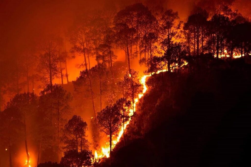
How Google is Using Satellite Imagery for Mapping Wildfires?
Google Earth Engine is at the core of processing satellite imagery for mapping wildfire. The satellite images then processed using Google Earth Engine processing libraries for data analysis.
Copy and paste this URL into your WordPress site to embed
Copy and paste this code into your site to embed