Google Reportedly Developing ‘Project Tango’ Tablet with 3D Mapping Capabilities
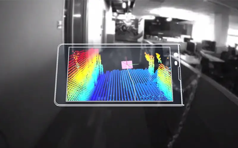
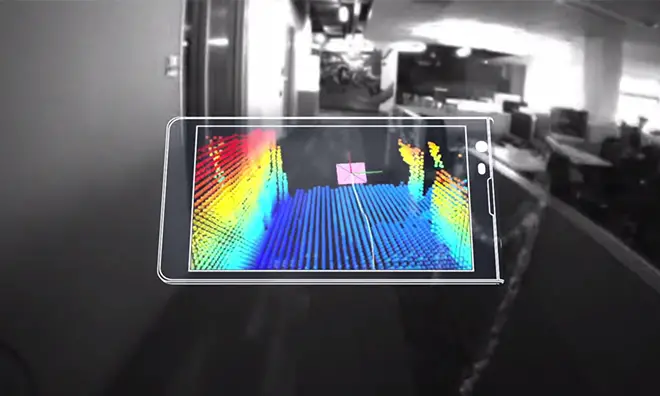
Google is reportedly working on a tablet version of its “Project Tango” computer vision initiative that incorporates multiple advanced imaging sensors into a portable device for real time three-dimensional mapping.
Google’s Project Tango Android phone. | Source: Google
According to The Wall Street Journal, the Internet search giant is furthering research into computer vision technology with a 7-inch tablet kitted out with two rear-facing cameras, infrared depth sensors and highly customized software. Sources claim production of 4,000 prototype units will begin in June.
From the report’s description, the small-format slate seems to be an oversized version of the existing prototype
Project Tango smartphone released in February by Google’s Advanced Technology and Projects division.
The tablet appears to have the same or similar imaging hardware as the smartphone version, which features a regular camera mounted near the top of the handset, a motion-sensing camera positioned opposite and integrated depth sensors mounted between the two. It is unknown what type of CPU will power the tablet, but the phone boasts two “computer vision” processors and assorted positioning sensors for calculating movement in three-dimensions.
Google’s Project Tango webpage notes the sensor suite “allow[s] the phone to make over a quarter million 3D measurements every second updating its position and orientation in real-time combining that data into a single 3D model of the space around you.”
Applications of the tech could range from navigation aids for visually impaired users to immersive augmented reality games.
Developers already have their hands on the phone and WSJ reports the company plans to release the tablet to select testers prior to Google I/O, which begins on June 25.
Read original story at: AppleInsider