In an earlier editorial, on the concept and creation of smart cities, I had stated that ‘Most of the works or projects currently being taken up under the smart city project are like infrastructure development’. This is largely true even now. Setting up of infrastructure leads to the creation of new facilities and services which help to alleviate the quality of life for the inhabitants of a smart city.
In another editorial on rural development, I had stated that ‘Provision of water, electricity, health facilities, education and resources to store, transport & sell their produce will ensure long term development in rural areas’.
The current context of development that there is an urgent need to bring both the urban and rural domains under the ambit of wholistic infrastructure development. A lot has been done but it is also true that a lot needs to be done to provide necessary infrastructure for the betterment of all the segments of society.
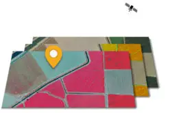
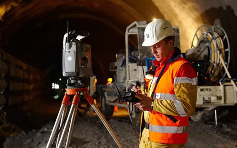
Geospatial Technologies are at the forefront of creating, updating and motoring infrastructure. Advanced Geospatial Technologies will enable faster and more accurate surveys to create road, rail and air transport networks; electricity, water, gas pipelines; telecommunication facilities and optical fibre cables, health, education and training facilities to provide amenities and utilities for the wellbeing of the urban and rural populace. Geospatial Surveys & GIS technologies can be used not only to monitor the condition of infrastructure but to also determine the need of any infrastructure so as to provide the ideal location of health centres, schools, colleges, vocation/training centres, veterinary hospitals etc in an area for the benefit and upliftment of the all segments of society. With specific information, infrastructure & amenities can be set up for the development of women and the girl child.
As humans evolve there will be changing precepts, norms, lifestyle & standards, technologies and aspirations. To meet these requirements, infrastructure will have to be created or updated. Infrastructure development is then a continuous process of providing environments for societies to grow.
I must add a word of caution here. Rampant development also has its downside. Societal needs of clean air; green and eco-friendly growth with less polluted cities, towns, rivers and water bodies; sanitary and hygienic living conditions; preservation of natural and cultural heritage; propagation of traditional practices and livelihood, amongst others, are equally important. Here again Geospatial Technologies, Geospatial Surveys & GIS technologies can efficiently deliver on safeguarding these critical parameters.
Policymaker must internalise the use of Geospatial Technologies for infrastructure construction and monitoring as part of all planning processes to deliver long term benefits to society.
The edition of December 2018 magazine focuses on the role of Geospatial Technologies for Construction and Monitoring