General Insurance Cooperation to Use GIS for Insurance Cover for Natural Calamities

 In recent news,in a take away from last year Uttrakand flood, the General Insurance Cooperation of India (GIC Re), has approached Pune based Science and Technology Park (STP) at University of Pune.
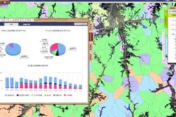
STP has taken the pilot project to prepare maps for catastrophic and man-made diasters using Geographical Information System (GIS). Valsad region of Gujrat has undertaken as study area. Valsad is prone to flood and has number of industries.
Mapping of location vulnerable to various hazards based on geo-codes using GIS applications would be done and the premium of the insurance companies would have a meaning with reference to particular hazard prevalent in the area of operation of the client.
Source: DNA
Categories:
GIS


