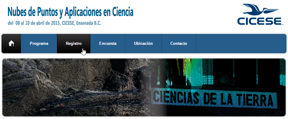
The week after Easter is poised to see Latin America’s premier LiDAR event of 2015 when LAStools, CloudCompare, and OpenTopography converge for the 3 day NPAC 2015 workshop in CICESE in Mexico. Just across the US border (one hour South of Tijuana) lies the coastal town of Ensenada in Baja California where Dr. Alejandro Hinojosa has done magic to bring together (for the first time) a dynamic group of well-known LiDAR enthusiasts.
The action-packed event runs from April 8th to 10th and includes a full-day course on LiDAR with LAStools by Dr. Martin Isenburg of rapidlasso GmbH, a full-day tutorial on processing point clouds with CloudCompare by its creator Dr. Daniel Girardeau-Montaut, and a day of exciting talks on data portals, landslide detection, commercial drones, structure from motion, and much more. The NPAC 2015 workshop is open to all and registration is free thanks to sponsorship by CONACyT and CICESE. The main language of the workshop will be English.
The first ever trip of rapidlasso GmbH to Latin America presents a rare opportunity for an in-person on-site visit by the creators of LASzip, LAStools, and PulseWaves elsewhere in Central or South America. Interested parties are encouraged to inquire. Dr. Isenburg will stay in Latin America until April 21st.
About rapidlasso GmbH:
Technology powerhouse rapidlasso GmbH specializes in efficient LiDAR processing tools that are widely known for their high productivity. They combine robust algorithms with efficient I/O and clever memory management to achieve high throughput for data sets containing billions of points. The company’s flagship product – the LAStools software suite – has deep market penetration and is heavily used in industry, government agencies, research labs, and educational institutions. Visit http://rapidlasso.com for more information.