
Credit: The Hindu
According to recent news by The Hindu, the Commissioner of Revenue Administration in association with Chennai Corporation and Chennai district collectorate will work together on disaster management.
Chennai is yet to have a comprehensive disaster management plan, which includes predefined roles and responsibilities with specific tasks for each official. The disaster management plan will include detailed mapping of safest escape routes and resources for facilitating rescue and relief operations. The lack of a disaster management plan has previously led to a delay in relief and rescue work after major disasters such as tsunami and flood in the city.
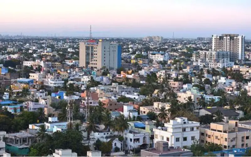
Chennai Corporation has 200 wards covering an area of 426 sq km.
There is also a need for integrating other local bodies on the outskirts in the disaster management plan. According to a previous study, the coastline from Ennore to Kasimedu Fishing Harbour was found to be safer. The coastline from Cooum River to Kovalam creek was more vulnerable to disasters such as a tsunami.
The plan for disaster management will have a list of low lying areas, slums, persons with disability, senior citizens, pregnant ladies, cooks, electricians, power cutting tools, ham radios, dilapidated buildings, hospitals and schools.
An official said, “We will start collecting data on resources at the ward level. The work will be completed by June”.
A Disaster Management Expert N. Mathavan, who worked on the resilience index for the city, said “Ward level mapping was done after the tsunami. Some of the earlier works pertaining to mapping for disaster preparedness are not relevant after the boundaries of wards and zones changed following expansion of the city”.
A Climate Disaster Resilience Index prepared for Chennai based on the data collected on five elements — physical, social, economic, institutional and natural — for ten old zones of the Corporation has to be revised for the 15 existing zones.