Kuala Lumpur – A local community-based organisation on landslides and slope safety, SlopeWatch embarked on a journey to educate hillside citizens on signs of slope failures to better equip them in an event of a disaster such as a landslide.
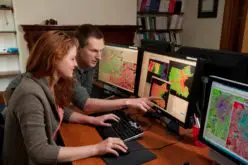
SlopeWatch is a community programme run by residents who monitor slopes in their neighbourhood for signs of landslides and conduct simple maintenance of slopes, such as clearing of overgrowth in drains. By participating as SlopeWatchers, residents become the “eyes and ears” for the local authorities.
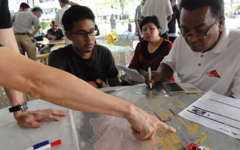
Community mapping is used to familiarise and understand your natural and manmade surroundings to reduce the chances of slope failures.
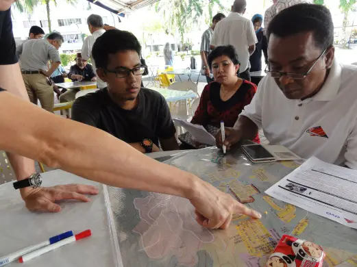
Bukit Antarabangsa residents creating their community maps during the workshop yesterday. Community mapping is used to familiarise and understand natural and manmade surroundings to reduce the chances of slop failure. Pix courtesy of SlopeWatch
With this mapping, one can share information on dangerous spots on or near slopes with other residents, and conduct activities for mitigating landslides.
When the Public Works Departments did a forensic report on the 2008 Bukit Antarabangsa landslide, they learnt that signs of a landslide appeared months ahead. Just that people didn’t see it as a possible sign.
The community mapping exercise is the first step in the programme before the release of a mobile app, “SlopeMap” in March that enables residents to report signs of landslides, such as water ponding, uprooted trees, and erosions, on their smartphones.
Source: New Straits Times Online