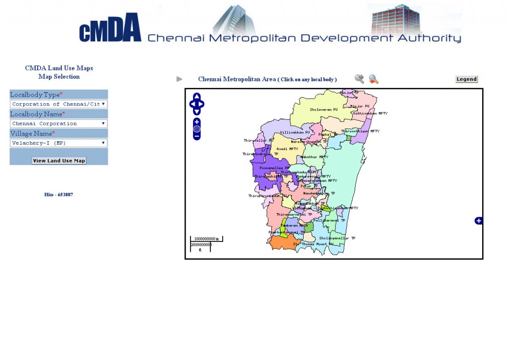
CMDA Uses GIS Based Land Use Information System for Information Dissemination
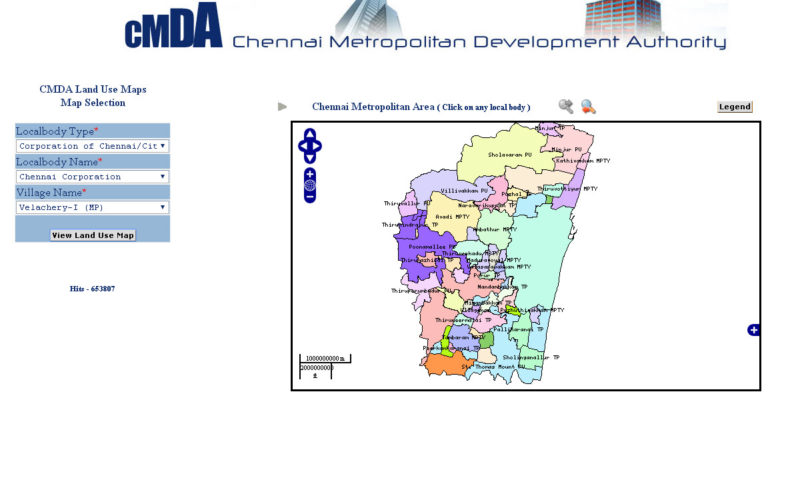
According to recent news by ToI, the Chennai Metropolitan Development Authority (CMDA) has launched a web portal to swiftly extract land-use data under the CMDA administrative area at various sites at the click of the mouse.
The CMA covers 1,189 sq km comprising the Chennai district, besides 16 municipalities, 20 town panchayats, and 214 village panchayats in 10 panchayat unions in neighbouring Kanchipuram and Tiruvallur districts.
The web-based geographical land use information system offers a variety of information including list of notified areas, locations identified as IT corridors and places falling under MRTS in the Chennai Metropolitan Area (CMA).
Though the land-use map with the classified zone is already available on the CMDA website, browsers need to search for other links for further details. However, the new web-based GIS feature has made things simpler. With just keying in the survey number, users can access all information on the classification zone details of the site like primary residential, mixed residential, institutional and industrial. Users can get further information on the type of constructions allowed in their respective zones.
“We commenced the test run of GIS-based land use information system a month ago, which is one-of-its-kind in the country. After getting feedback from users, the facility would be launched,” a CMDA official told TOI. The national informatics centre (NIC) has developed the feature for the urban planning body.
The feature also has tools listing pockets falling under the Coastal Regulatory Zone, artificial recharge area, RedHills Catchment Area, IAF, Outer Ring Road, Green Belt, Pallikaranai Swamp Area, and Archaeological Survey of India (ASI), where there are restrictions for constructions. While no construction is permitted in areas within 100 metre of any ASI notified structure, building activities are regulated between 200 and 300 metres near the ancient sites for their protection.