 BEIJING: China today successfully launched a remote-sensing satellite to carry out scientific experiments and provide early alerts about natural disasters.
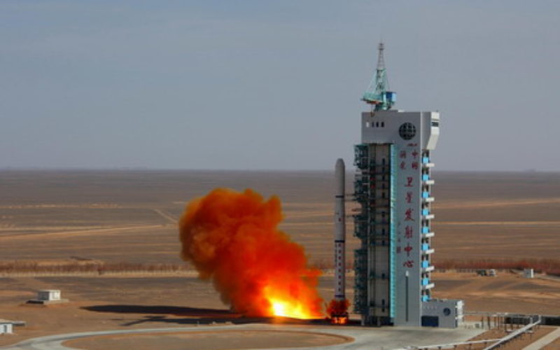
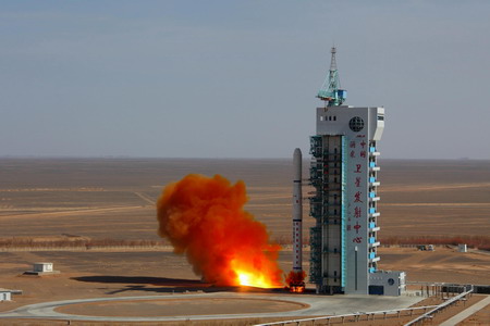
The Yaogan XX satellite blasted off at 1:45 pm local time on the back of a Long March 4C carrier rocket from the Jiuquan Satellite Launch Center in the country’s northwestern Gobi desert, according to the center’s statement.
The satellite will be used to conduct scientific experiments, carry out land surveys, monitor crop yields and aid in preventing and reducing natural disasters, state-run Xinhua news agency reported.
The launch marked the 190th mission for the nation’s Long March rocket family.
Source: PTI
Categories:
Remote Sensing