
Webinars
HARRIS Geospatial Solutions Webinar: The Applications and Benefits of Synthetic Aperture Radar (SAR)
Synthetic Aperture Radar (SAR) is rapidly becoming a key dataset in geospatial investigation. Unlike many other observational methods, SAR is not limited by illumination or cloud cover. In recent years,
Boundless to Host Complimentary Webinar on Boundless Offline Tile Server
GIS Industry Experts to Host Roundtable Webinar on Portable, High-Performance Map Tile Server Designed to Allow Users to Visualize Detailed Basemaps in a Completely Disconnected Environment St. Louis, MO – July

NASA ARSET Training: Monitoring Tropical Storms for Emergency Preparedness
Monitoring Tropical Storms for Emergency Preparedness Thursday, May 3, 2018 to Thursday, May 10, 2018 09:00 – 11:00 and 18:00 – 20:00 EDT (UTC-4) Tropical storms have major impacts, including loss of

Webinar: Use Multispectral Imaging to Boost Crop Health
Harris & MicaSense Webinar – Use Multispectral Imaging to Boost Crop Health: From Data Collection to Analysis: From Data Collection to Analysis April 3, 2018 | 10 AM EDT & 2 PM
NASA ARSET Training: Introduction to Using the VIC Hydrologic Model with NASA Earth Observations
Introduction to Using the VIC Hydrologic Model with NASA Earth Observations Dates: Thursday, February 15, 2018 to Thursday, March 1, 2018 Times: 9:00 – 10:00 a.m. and 6:00 – 7:00 p.m. EST (UTC
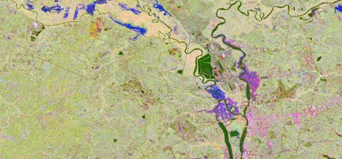
ARSET Advanced Webinar: Land Cover Classification with Satellite Imagery
Advanced Webinar: Accuracy Assessment of a Land Cover Classification Dates: Tuesday, February 13, 2018 to Tuesday, February 20, 2018 Times: 11:00-13:00 and 23:00-01:00 EST (UTC-5) In last year’s ARSET Advanced Webinar: Land Cover Classification
Advanced Webinar: Data Analysis Tools for High Resolution Air Quality Satellite Datasets
Advanced Webinar: Data Analysis Tools for High Resolution Air Quality Satellite Datasets January 17, 2018 to Monday, January 22, 2018 High-resolution air quality data is helpful for monitoring urban air
3DR Webinar: Site Scan Manager Training Webinar
3DR: Site Scan Manager Training Webinar December 6th, at 10:00 AM PT (convert to your timezone) With 3DR continuation to make improvements to Site Scan, the webinar will help you become more

Register for the 3DR Site Scan Training Webinar
Join 3DR for the Site Scan Manager Training Webinar on Wednesday, October 11th, at 10:00 am PDT (convert to your timezone) 3D Robotics is an American company headquartered in Berkeley, California that provides enterprise
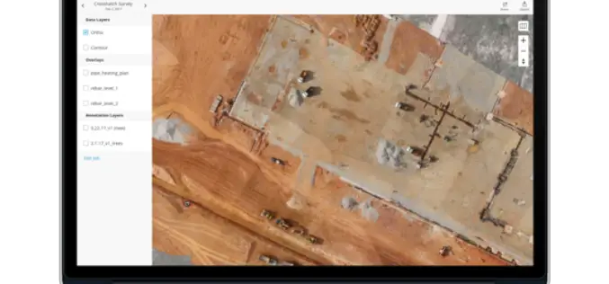
Introducing Trimble Clarity – A Cloud-based Geospatial Data Viewer and Collaboration Product
Introducing Trimble Clarity – A Cloud-based Geospatial Data Viewer and Collaboration Product September 27, 2017 Join us live from the Intergeo Geospatial Conference in Berlin, Germany as we present Trimble
